We can't find the internet
Attempting to reconnect
Something went wrong!
Hang in there while we get back on track
£60.00
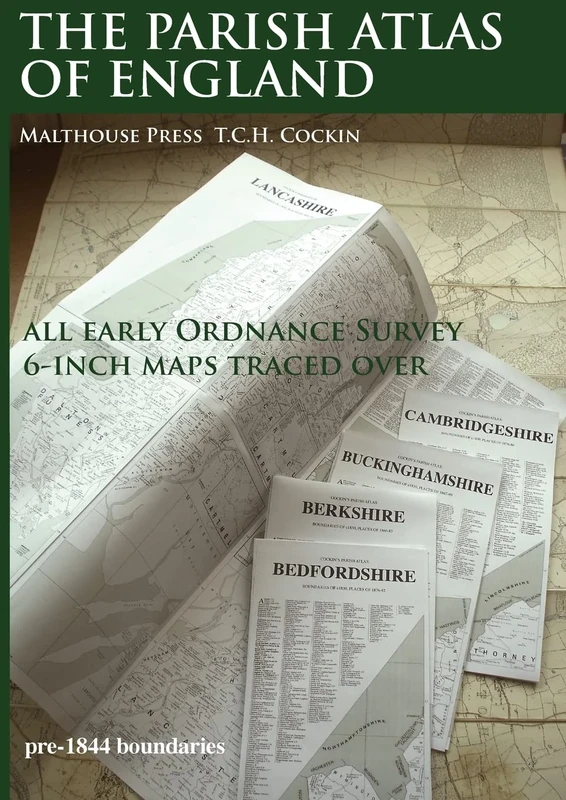
Malthouse Press The Parish Atlas of England: Atlas of English Parish Boundaries
Price data last checked 185 day(s) ago - refreshing...
We'll watch every seller, every day. One email when your price arrives.
This is the most expensive it has ever been. Walk away.
£60 today · previous high £60 · all-time low £44
NEW HERE?
Amazon shows you one price. We show you all of them.
Tosheroon watches Amazon prices so you don't have to. Every product on Amazon has a price history — we make it visible. Set the price you'd actually pay, and we'll email you the second it gets there. No app, no account, one email.
WHAT'S ON THIS PAGE
when this has been cheap or pricey
where the price is heading next
all-time high & low, recent range
name your number, we'll email you
Price History & Forecast
Grey patches = out of stock. Cheaper = lower on the chart. Hover for exact prices.
Last 546 days • 546 data points (No recent data available)
Price Distribution
Price distribution over 546 days • 2 price levels
Price Analysis
Most common price: £60 (541 days, 99.1%)
Price range: £44 - £60
Price levels: 2 different prices over 546 days
Description
Product Specifications
- Brand
- Malthouse Press
- Format
- paperback
- ASIN
- 1907364102
- Category
- Books > Subjects > History
- Domain
- Amazon UK
- Release Date
- 02 October 2017
- Listed Since
- 17 August 2017
Barcode
No barcode data available
Similar Products You Might Like
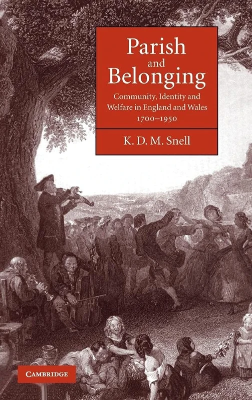
Parish and Belonging: Community, Identity and Welfare in England and Wales, 1700–1950
Cambridge University Press
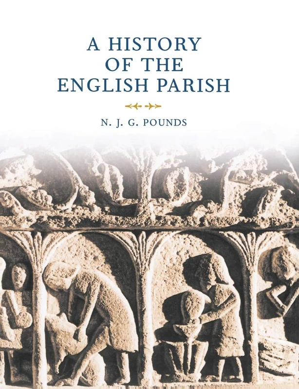
A History of the English Parish: The Culture of Religion from Augustine to Victoria
Cambridge University Press
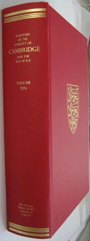
A A History of the County of Cambridge and the Isle of Ely: X. Cheveley, Flendish, Staine and Staploe Hundreds: 10 (Victoria County History)
Oxford University Press
An Atlas and Index of the Tithe Files of Mid-Nineteenth-Century England and Wales
Cambridge University Press
County Borough Elections in England and Wales, 1919–1938: A Comparative Analysis: Volume 4: Exeter - Hull
Routledge
The Early English Censuses: 46 (Records of Social and Economic History, New Series)
Oxford University Press
County Borough Elections in England and Wales, 1919–1938: A Comparative Analysis: Volume 1: Barnsley - Bournemouth
Routledge
County Borough Elections in England and Wales, 1919–1938: A Comparative Analysis: Volume 2: Bradford - Carlisle
Routledge
The People of the Parish: Community Life in a Late Medieval English Diocese (The Middle Ages Series)
University of Pennsylvania Museum Publications
People and places 3: A 21st-Century Atlas of the UK
Policy Press
The English Countryside: Representations, Identities, Mutations
MACMILLAN
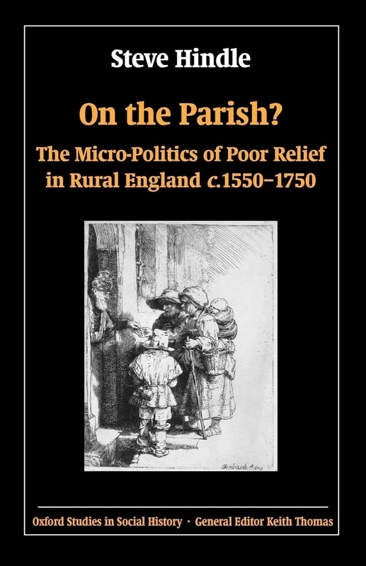
On the Parish?: The Micro-Politics of Poor Relief in Rural England c. 1550-1750 (Oxford Studies in Social History)
Oxford University Press
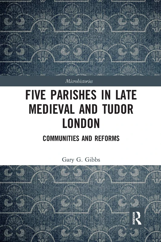
Five Parishes in Late Medieval and Tudor London: Communities and Reforms (Microhistories)
Routledge
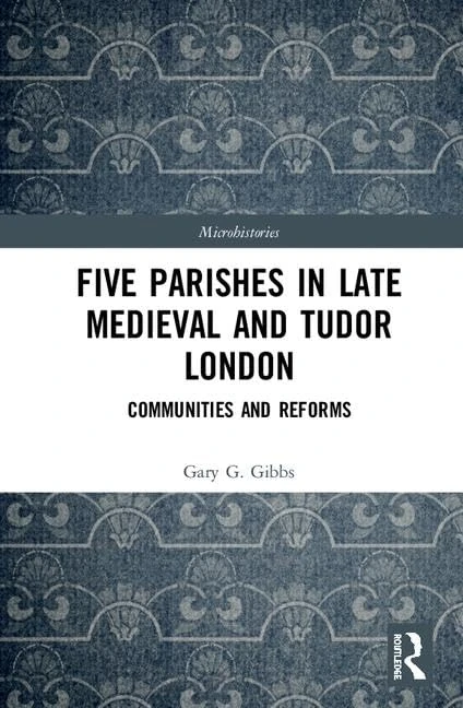
Routledge - Five Parishes in Late Medieval and Tudor London
Routledge
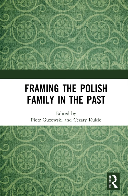
Framing the Polish Family in the Past
Routledge
The Social Topography of a Rural Community: Scenes of Labouring Life in Seventeenth Century England
Landscape and Community in England
By
The The Victoria History of London: Volume One : Including London within the Bars, Westminster & Southwark: 1 (Victoria County History)
Victoria County History
The Differentiated Countryside (Routledge Studies in Human Geography)
Routledge

Romantics and Classics: Style in the English Country House
Rizzoli
Parish Communities and Religious Conflict in the Vale of Gloucester, 1590-1690 (Harvard Historical Studies): 129
Harvard University Press
Cork/Corcaigh: Irish Historic Towns Atlas, no. 31
Rethinking the Great Transition: Community and Economic Growth in County Durham, 1349-1660
Oxford University Press
Historical Dictionary of the United Kingdom: Scotland, Wales, and Northern Ireland, Volume 2: 002 (Historical Dictionaries of Europe)
Scarecrow Press