We can't find the internet
Attempting to reconnect
Something went wrong
Hang in there while we get back on track
£64.84
Whittles Airborne and Terrestrial Laser Scanning
Price data last checked 21 day(s) ago - will refresh soon
We'll watch every seller, every day. One email when your price arrives.
This is the most expensive it has ever been. Walk away.
£65 today · previous high £65 · all-time low £64
NEW HERE?
Amazon shows you one price. We show you all of them.
Tosheroon watches Amazon prices so you don't have to. Every product on Amazon has a price history — we make it visible. Set the price you'd actually pay, and we'll email you the second it gets there. No app, no account, one email.
WHAT'S ON THIS PAGE
when this has been cheap or pricey
where the price is heading next
all-time high & low, recent range
name your number, we'll email you
Price History & Forecast
Grey patches = out of stock. Cheaper = lower on the chart. Hover for exact prices.
Last 70 days · 70 data points (no recent data)
Price Distribution
Price distribution over 70 days • 1 price levels
Price Analysis
Most common price: £65 (70 days, 100.0%)
Price range: £65 - £65
Price levels: 1 different prices over 70 days
Description
Key Features
New Store Stock
Product Specifications
- Brand
- Whittles
- Format
- hardcover
- ASIN
- 190444587X
- Domain
- Amazon UK
- Release Date
- 12 February 2010
- Listed Since
- 08 May 2009
Barcode
No barcode data available
Similar Products You Might Like
Topographic Laser Ranging and Scanning: Principles and Processing, Second Edition
CRC Press
Handbook of Optical and Laser Scanning: 147 (Optical Science and Engineering)
CRC Press

3D Scanning for Advanced Manufacturing, Design, and Construction: Metrology for Advanced Manufacturing (Additive Manufacturing Skills in Practice.)
Wiley

Laser Remote Sensing: 97 (Optical Science and Engineering)
CRC Press

Theory and Technology of Laser Imaging Based Target Detection
Springer
Springer - Laser Scanning Applications in Landslide Assessment
Springer
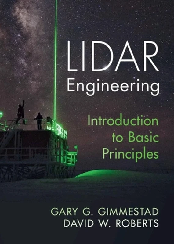
Lidar Engineering: Introduction to Basic Principles
Cambridge University Press

Laser Beams in the Atmosphere
Springer

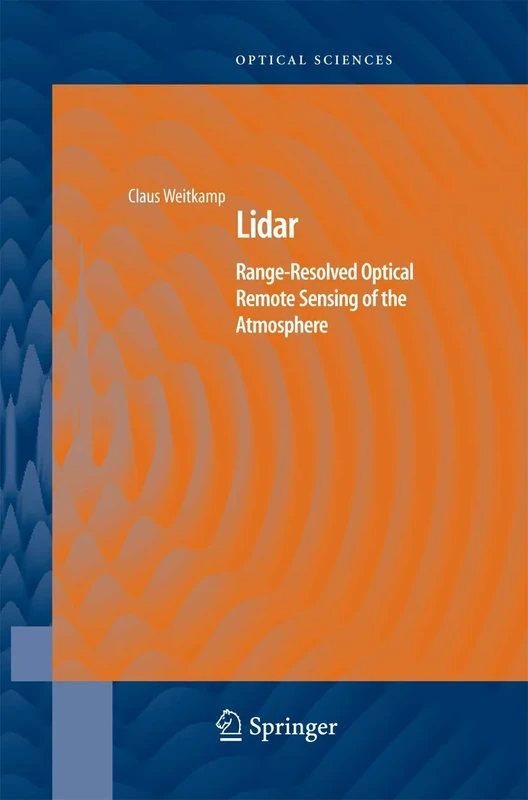
Lidar: Range-Resolved Optical Remote Sensing of the Atmosphere: 102 (Springer Series in Optical Sciences, 102)
Springer
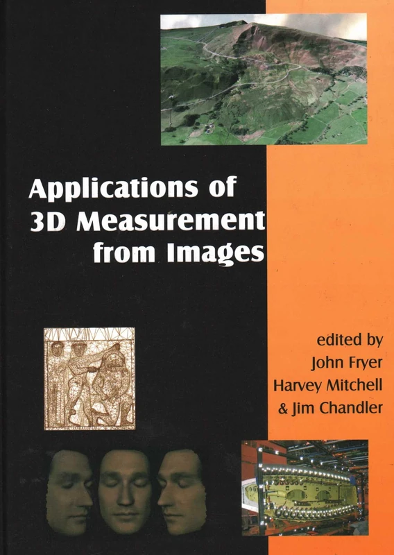
Applications of 3D Measurement from Images
Whittles
Lidar: Range-Resolved Optical Remote Sensing of the Atmosphere: 102 (Springer Series in Optical Sciences, 102)
Springer

Springer Laser Measurement Technology: Fundamentals and Applications
Springer
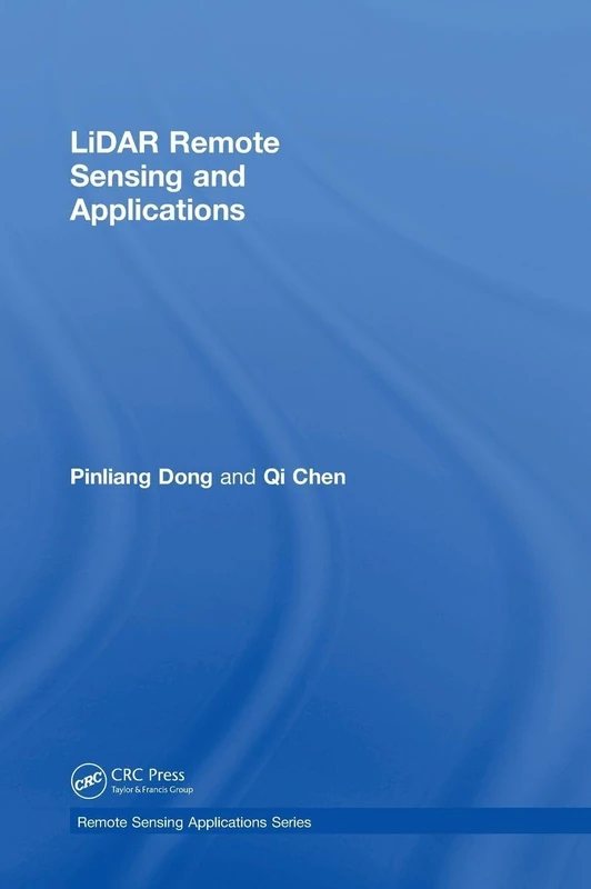
LiDAR Remote Sensing and Applications (Remote Sensing Applications Series)
CRC Press
Advances in Mapping from Remote Sensor Imagery: Techniques and Applications
CRC Press
Introduction to Laser Radar: A New Light on Imaging: 360 (Press Monographs)

Optical Waves and Laser Beams in the Irregular Atmosphere
CRC Press