We can't find the internet
Attempting to reconnect
Something went wrong!
Hang in there while we get back on track
£5.51
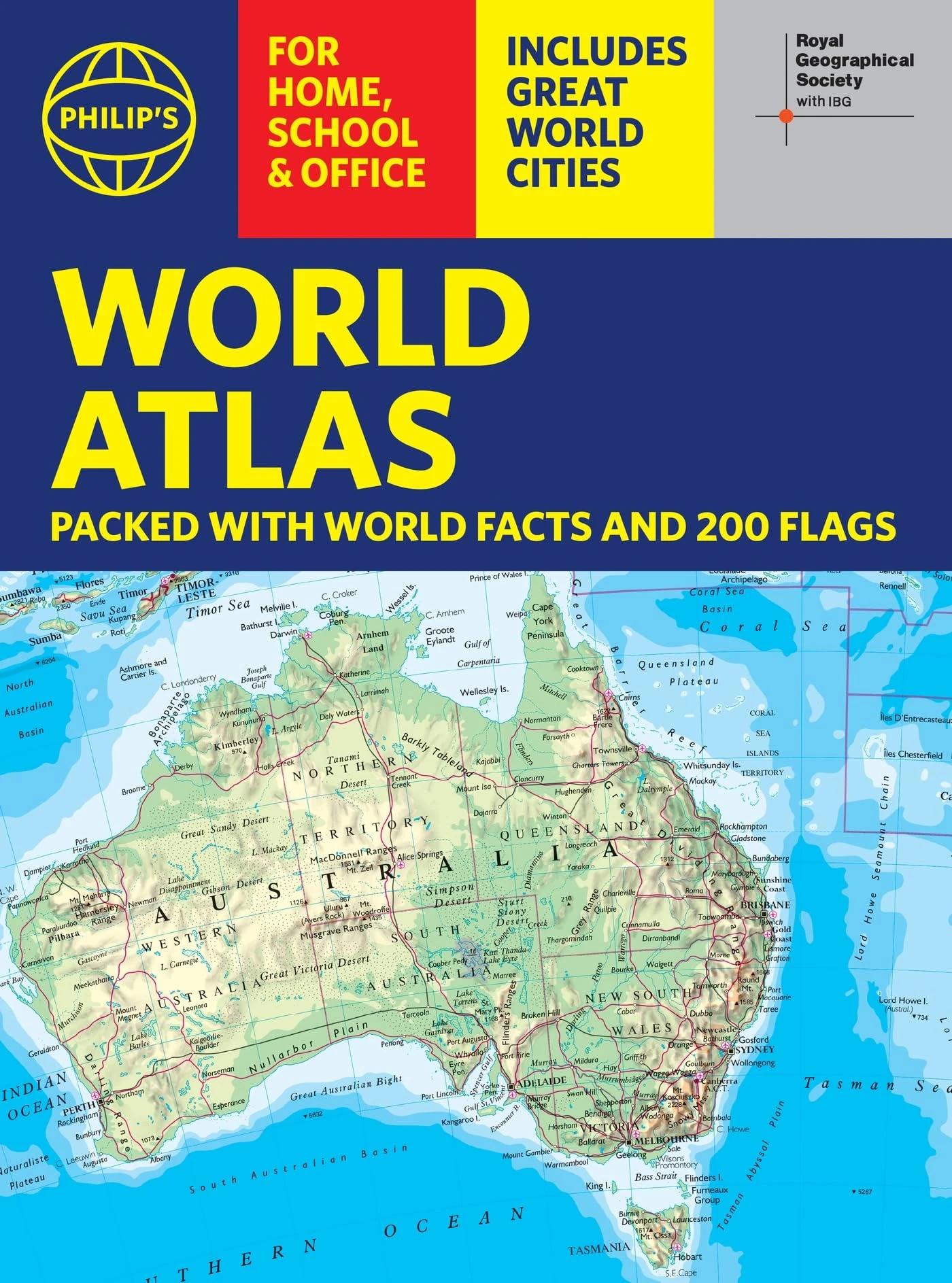
Philip's RGS World Atlas (A4): with Global Cities, Facts and Flags
Price data last checked 136 day(s) ago - refreshing...
We'll watch every seller, every day. One email when your price arrives.
This is the most expensive it has ever been. Walk away.
£6 today · previous high £6 · all-time low £5
NEW HERE?
Amazon shows you one price. We show you all of them.
Tosheroon watches Amazon prices so you don't have to. Every product on Amazon has a price history — we make it visible. Set the price you'd actually pay, and we'll email you the second it gets there. No app, no account, one email.
WHAT'S ON THIS PAGE
when this has been cheap or pricey
where the price is heading next
all-time high & low, recent range
name your number, we'll email you
Price History & Forecast
Grey patches = out of stock. Cheaper = lower on the chart. Hover for exact prices.
Last 112 days • 100 data points (No recent data available)
Price Distribution
Price distribution over 112 days • 6 price levels
Price Analysis
Most common price: £5.5 (48 days, 48.0%)
Price range: £4.62 - £5.5
Price levels: 6 different prices over 100 days
Description
Key Features
New Store Stock
Product Specifications
- Brand
- Philip's
- Format
- paperback
- ASIN
- 1849077231
- Domain
- Amazon UK
- Release Date
- 03 July 2025
- Listed Since
- 09 July 2024
Barcode
No barcode data available
Similar Products You Might Like
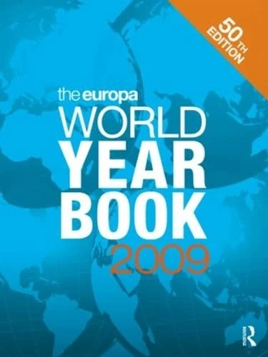
The Europa World Year Book 2009
Routledge
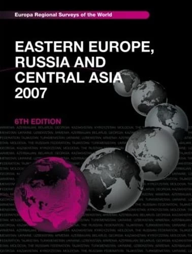
Eastern Europe, Russia and Central Asia 2007
Routledge
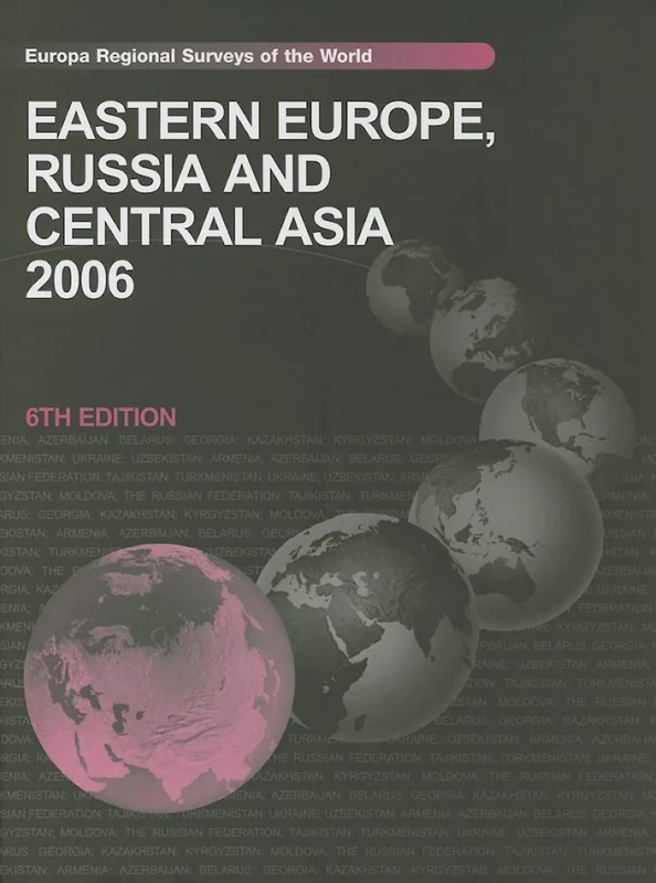
Eastern Europe, Russia and Central Asia (Hardcover)
Routledge
Central and South Eastern Europe 2004
Routledge
The Far East and Australasia 2015
Routledge
The Europa World Year Book 2002
Routledge
Intl Whos Who 1998-99 (INTERNATIONAL WHO'S WHO)
Routledge
Africa South of the Sahara 2012
Routledge

Recent Advances in Computer Science and Information Engineering: Volume 1: 124 (Lecture Notes in Electrical Engineering, 124)
Springer
Who's Who in International Affairs 2007
Routledge
Western Perspectives On The People's Republic Of China: Politics, Economy And Society
World Scientific Publishing Company
Proceedings of the Future Technologies Conference (FTC) 2021, Volume 3: 360 (Lecture Notes in Networks and Systems, 360)
Springer
Proceedings of the Seventh Asia International Symposium on Mechatronics: Volume II: 589 (Lecture Notes in Electrical Engineering, 589)
Springer