We can't find the internet
Attempting to reconnect
Something went wrong
Hang in there while we get back on track
£56.19
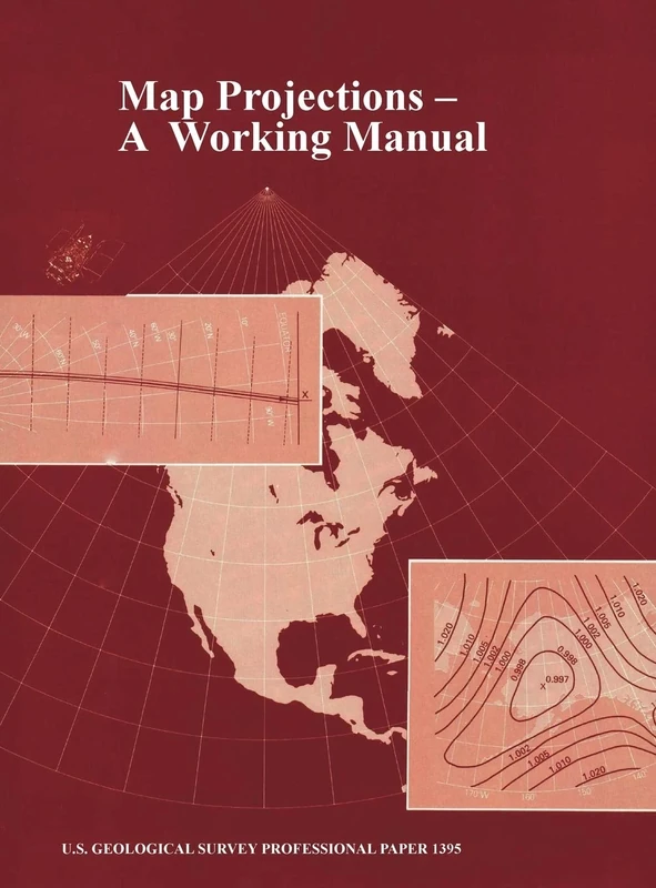
www.Militarybookshop.Co.UK Map Projections: A Working Manual (U.S. Geological Survey Professional Paper 1395)
Price data last checked 20 day(s) ago - will refresh soon
We'll watch every seller, every day. One email when your price arrives.
About as cheap as it gets. The only time it was cheaper was 3 months ago.
£56 today · all-time low £56 (Apr 2026) · usually £60
NEW HERE?
Amazon shows you one price. We show you all of them.
Tosheroon watches Amazon prices so you don't have to. Every product on Amazon has a price history — we make it visible. Set the price you'd actually pay, and we'll email you the second it gets there. No app, no account, one email.
WHAT'S ON THIS PAGE
when this has been cheap or pricey
where the price is heading next
all-time high & low, recent range
name your number, we'll email you
Price History & Forecast
Grey patches = out of stock. Cheaper = lower on the chart. Hover for exact prices.
Last 71 days · 71 data points (no recent data)
Price Distribution
Price distribution over 71 days • 2 price levels
Price Analysis
Most common price: £56 (40 days, 56.3%)
Price range: £56 - £60
Price levels: 2 different prices over 71 days
Description
Product Specifications
- Format
- hardcover
- ASIN
- 1839310219
- Domain
- Amazon UK
- Release Date
- 31 October 2012
- Listed Since
- 24 September 2019
Barcode
No barcode data available
Similar Products You Might Like
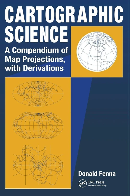
CRC Press Cartographic Science - Map Projections Compendium
CRC Press
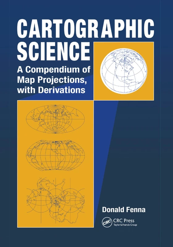
Cartographic Science: A Compendium of Map Projections, with Derivations
CRC Press
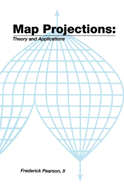
Map ProjectionsTheory and Applications: Theory and Applications
CRC Press
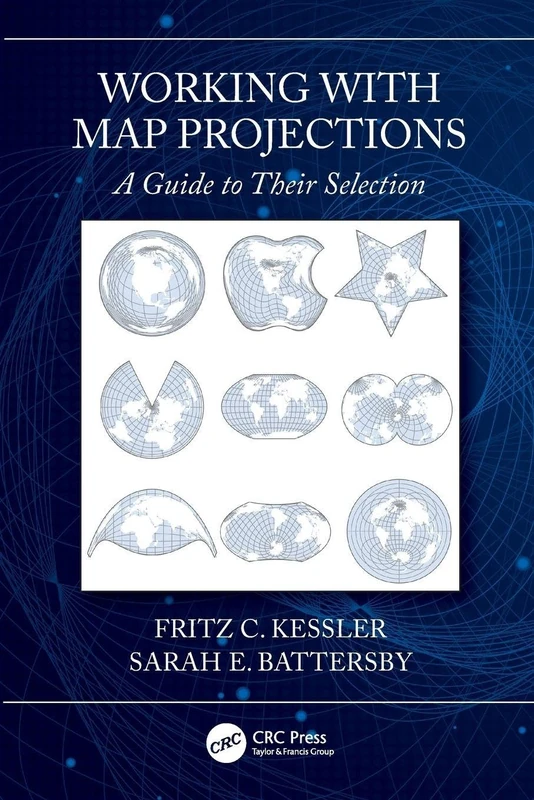
Working with Map Projections: A Guide to their Selection
CRC Press
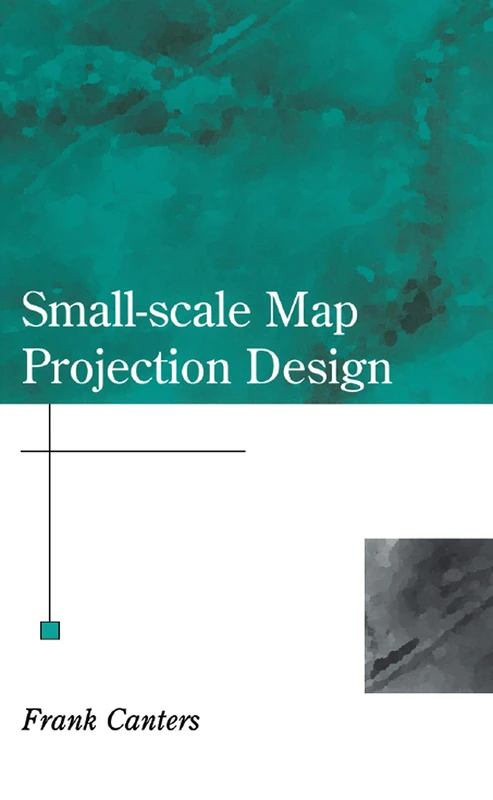
Small-Scale Map Projection Design (Research Monographs in Geographic Information Systems)
CRC Press
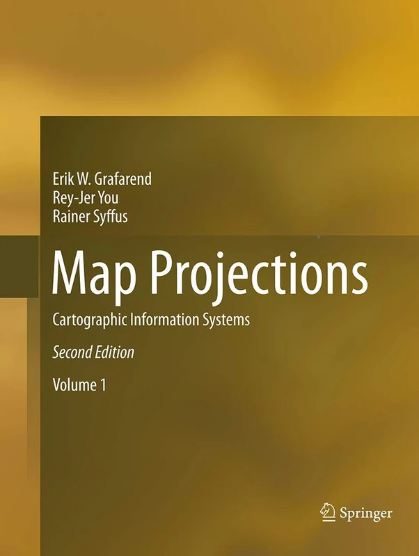
Map Projections: Cartographic Information Systems
Springer
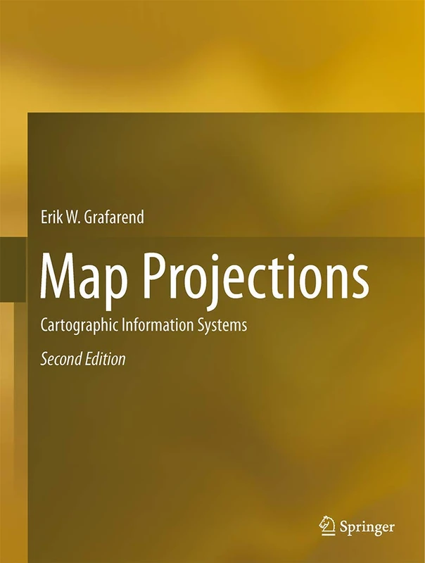
Map Projections: Cartographic Information Systems
Springer
Springer - Choosing a Map Projection (Lecture Notes) Book
Springer
Map Projections: A Reference Manual
CRC Press
Map Projection Transformation: Principles and Applications
CRC Press
Plane and Geodetic Surveying
CRC Press
Geometrical Geodesy: Using Information and Computer Technology
Springer
The Shape and Size of the Earth: A Historical Journey from Homer to Artificial Satellites
Springer
Geodesy (De Gruyter Textbook)
De Gruyter
Springer Geodetic Reference Frames - IAG Symposium 134
Springer

Vermessungskunde: 1 (Handbibliothek für Bauingenieure, 1)
Springer
VIII Hotine-Marussi Symposium on Mathematical Geodesy: Proceedings of the Symposium in Rome, 17-21 June, 2013: 142 (International Association of Geodesy Symposia)
Springer
The Quest for the True Figure of the Earth: Ideas and Expeditions in Four Centuries of Geodesy (Science, Technology and Culture, 1700-1945)
Routledge
Geometrical Geodesy: Using Information and Computer Technology
Springer
Coordinate Systems of the World: Datums and Grids
CRC Press
Map of the World: An Introduction to Mathematical Geodesy
CRC Press
Advances and Trends in Geodesy, Cartography and Geoinformatics II: Proceedings of the 11th International Scientific and Professional Conference on ... 2019, Demänovská Dolina, Low Tatras, Slovakia
CRC Press
Maps and Related Cartographic Materials: Cataloging, Classification, and Bibliographic Control
Routledge
Overcoming Ptolemy: The Revelation of an Asian World Region (AsiaWorld)
Lexington Books