We can't find the internet
Attempting to reconnect
Something went wrong
Hang in there while we get back on track

£40.69
Archaeopress Archaeology Hillforts: Britain, Ireland and the Nearer Continent: Papers from the Atlas of Hillforts of Britain and Ireland Conference, June 2017
Price data last checked 24 day(s) ago - will refresh soon
We'll watch every seller, every day. One email when your price arrives.
It has never been this cheap. We have no record of a lower price.
£41 today · cheaper than every other day in the last 3 months
NEW HERE?
Amazon shows you one price. We show you all of them.
Tosheroon watches Amazon prices so you don't have to. Every product on Amazon has a price history — we make it visible. Set the price you'd actually pay, and we'll email you the second it gets there. No app, no account, one email.
WHAT'S ON THIS PAGE
when this has been cheap or pricey
where the price is heading next
all-time high & low, recent range
name your number, we'll email you
Price History & Forecast
Grey patches = out of stock. Cheaper = lower on the chart. Hover for exact prices.
Last 67 days · 67 data points (no recent data)
Price Distribution
Price distribution over 67 days • 3 price levels
Price Analysis
Most common price: £45 (34 days, 50.7%)
Price range: £41 - £45
Price levels: 3 different prices over 67 days
Description
Key Features
Hillforts: Britain, Ireland And The Nearer Continent: Papers From The Atlas Of Hillforts Of Britain And Ireland Conference, June 2017
Product Type: Abis Book
Brand: Archaeopress Archaeology
Product Specifications
- Brand
- Archaeopress Archaeology
- Format
- paperback
- ASIN
- 1789692261
- Domain
- Amazon UK
- Release Date
- 30 June 2019
- Listed Since
- 02 June 2019
Barcode
No barcode data available
Similar Products You Might Like
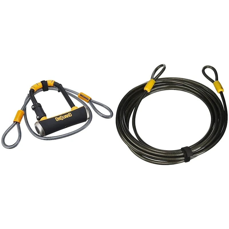
OnGuard Pitbull Mini DT-8008 Bike Lock, Keyed Shackle Locks, High Security & Reliable, Lock with Co-Moulded Crossbar & Akita-8043 Looped Cable - Black, 22.0 x 1.0 cm
On-Guard
Price unavailable
Alubox 47215 Postal Box
CASSETTE POSTALI ALUBOX
Alubox 47216 Mailbox
CASSETTE POSTALI ALUBOX
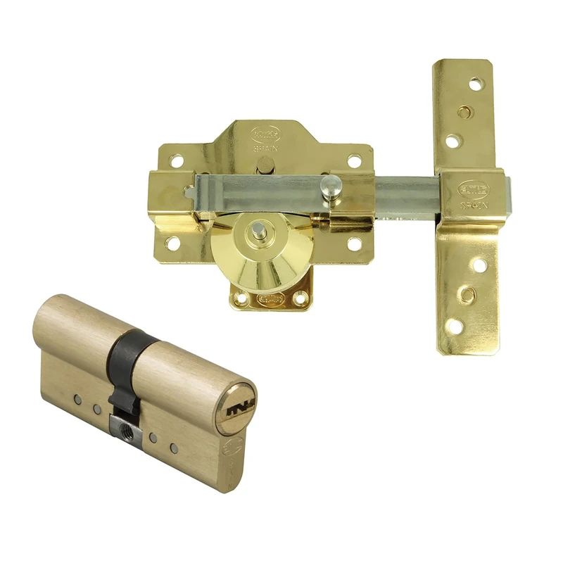
Amig - Steel Security Set with Similar Brass Cylinder for Wooden Doors | Model 1PLUS | Diameter 70 mm (30-40) | Increases the Safety of Your Home | Golden Steel
Amig
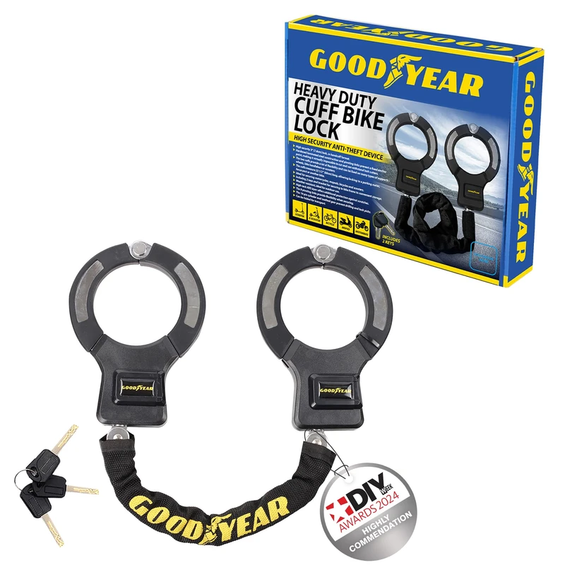
Goodyear Unisex Twin Cuff
Goodyear
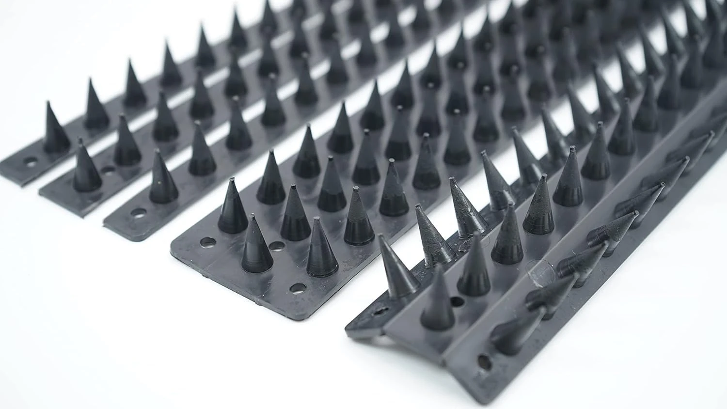
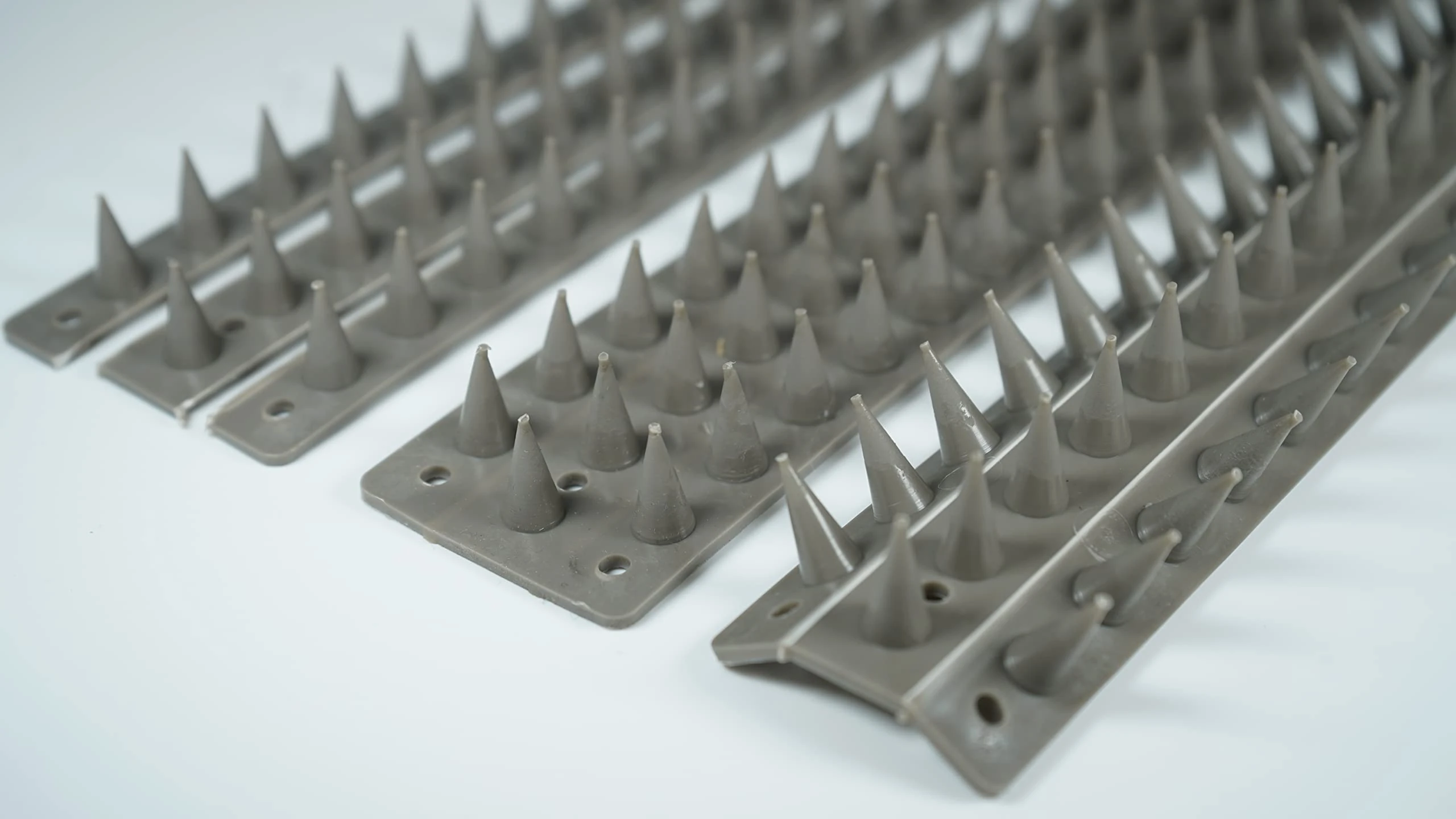
Prikkastrip Eco Fence Spikes - Black Bird & Cat Deterrent 100 Pack
Prikkastrip
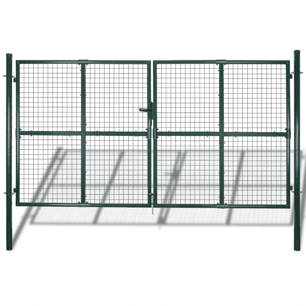
vidaXL Double Door Fence Gate 300x150 cm Powder-Coated Steel
vidaXL
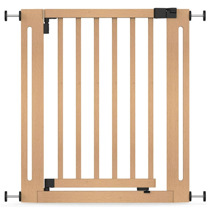
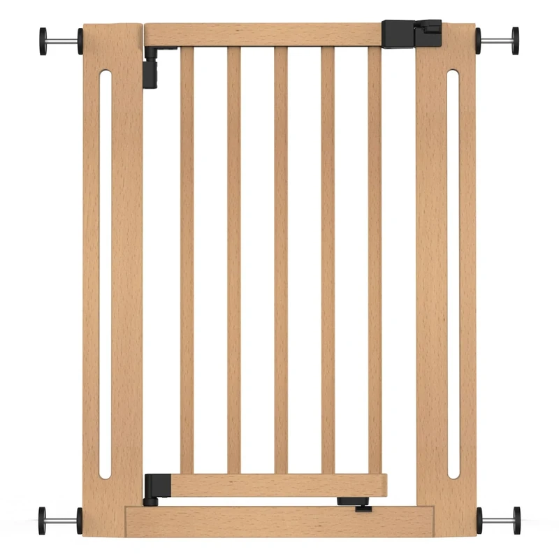
Safetots Wooden Elegance Safety Gate, Natural, 71cm - 79cm, Pressure Fit, Baby Gate for Stairs, Hallways and Doors, Stylish Design and Easy Installation
Safetots

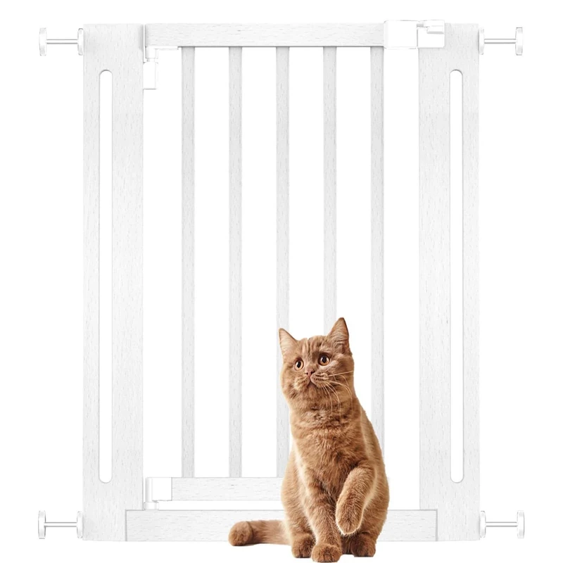
Safetots Wooden Elegance Baby Gate, White, 71cm - 79cm, Pressure Fit
Safetots
Safetots Wooden Elegance Baby Gate, Natural, 63cm - 71cm, Pressure Fit
Safetots
Prikkastrip Bird and Cat Deterrent Spikes - 30 Pack Grey
Prikkastrip
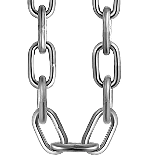
Heavy Duty Galvanised Metal Link Chain Stainless Steel for Bike Lock Padlock Security Gate Fence Gym Weight Lifting Extra Strong Long Length Welded Metal (6MM, 1.5 Metre)
RSE
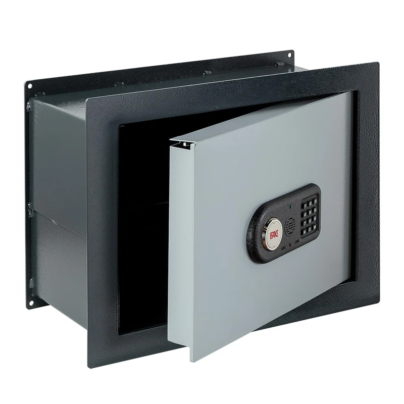
Fac 103-IE Electronic Safe - Integral System
Fac
Price unavailable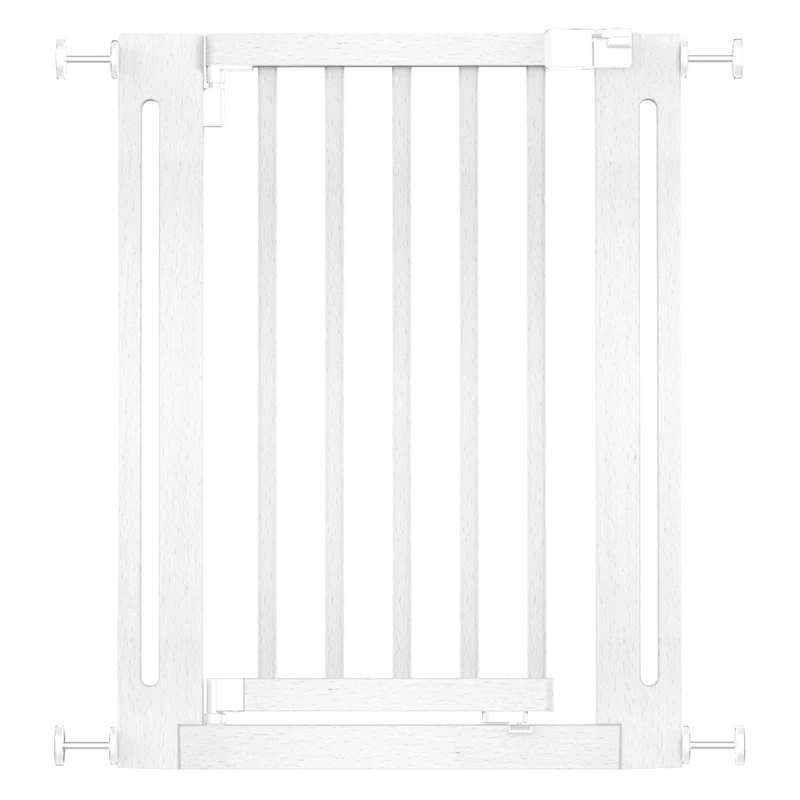
Safetots Wooden Elegance Baby Gate, White, 63cm - 71cm, Pressure Fit
Safetots
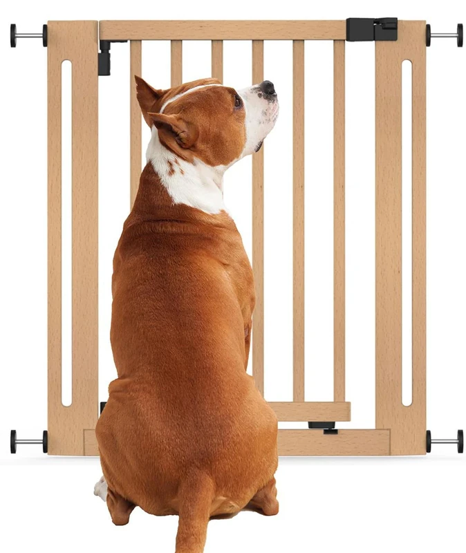
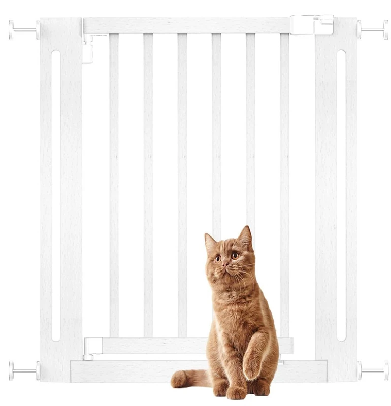
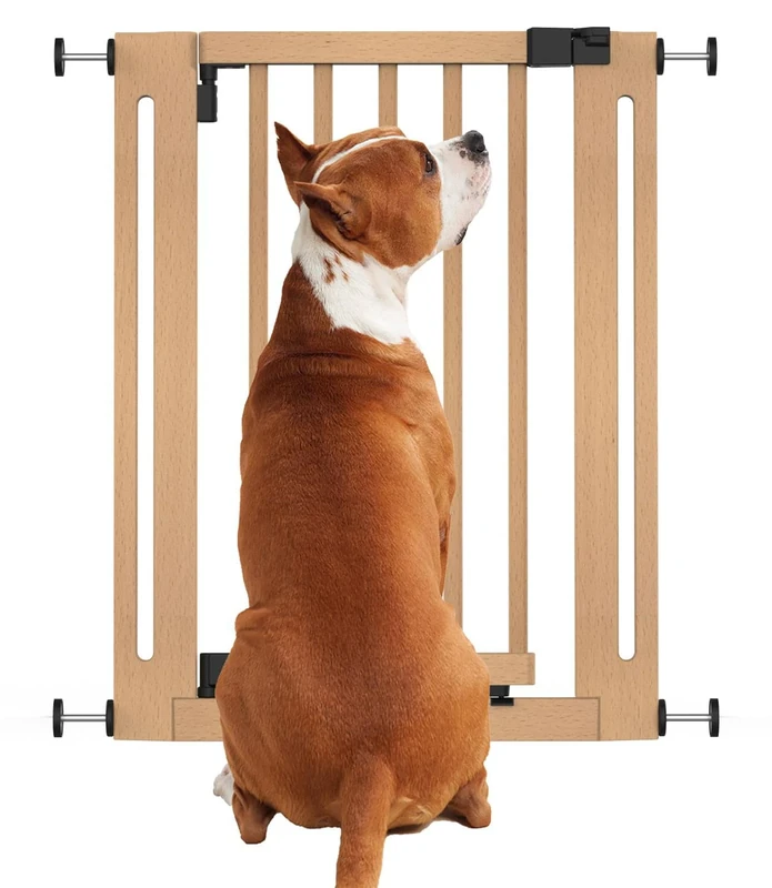
Bettacare Wooden Elegance Dog Gate, Natural, 71cm - 79cm, Pressure Fit Safety Gate, Safety Gate for Puppy, Dog and Pet, Stylish Design and Easy Installation
Bettacare
Bettacare Wooden Elegance Dog Gate, White, 63cm - 71cm, Pressure Fit Safety Gate, Safety Gate for Puppy, Dog and Pet, Stylish Design and Easy Installation
Bettacare
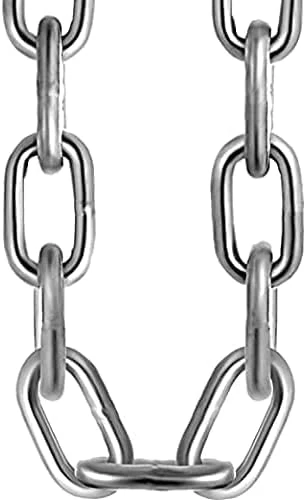
RSE Heavy Duty Galvanised Steel Chain - 5mm, 0.5 Metre
RSE
Bettacare Wooden Elegance Dog Gate, White, 71cm - 79cm, Pressure Fit Safety Gate, Safety Gate for Puppy, Dog and Pet, Stylish Design and Easy Installation
Bettacare
Safetots Elite Pressure Narrow Safety Gate, 65.5cm - 74.5cm, Matt Grey, Narrow Pressure Fit Stair Gate, Baby Gate for Doors Hallways and Spaces, Safety Barrier, Easy Installation
Safetots
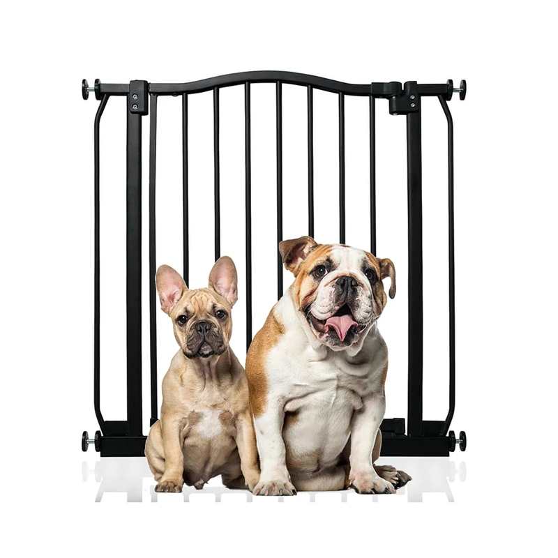
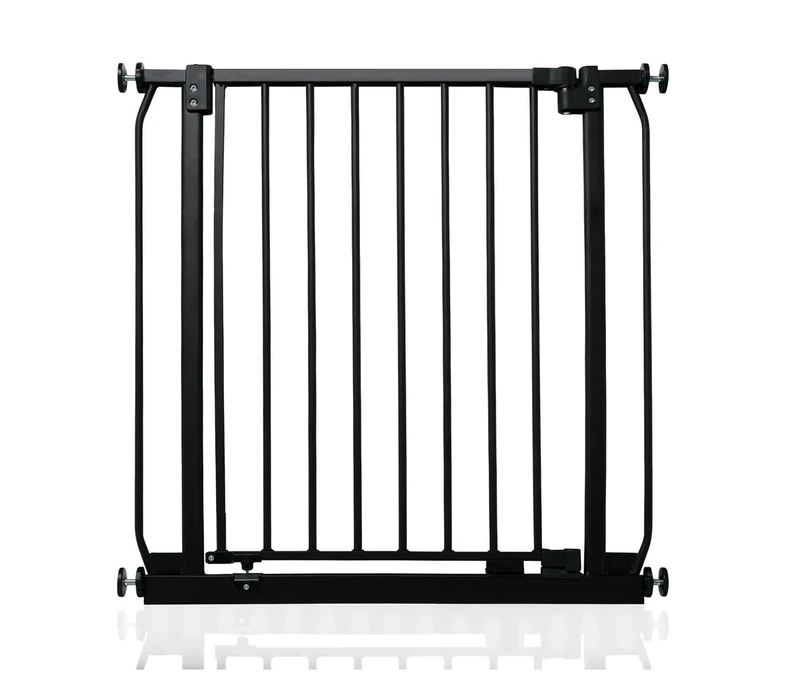
Bettacare Curved Top Dog Gate, 71cm - 80cm, Matt Black, Pressure Fit Pet Gate for Puppy and Dog, Easy Installation
Bettacare
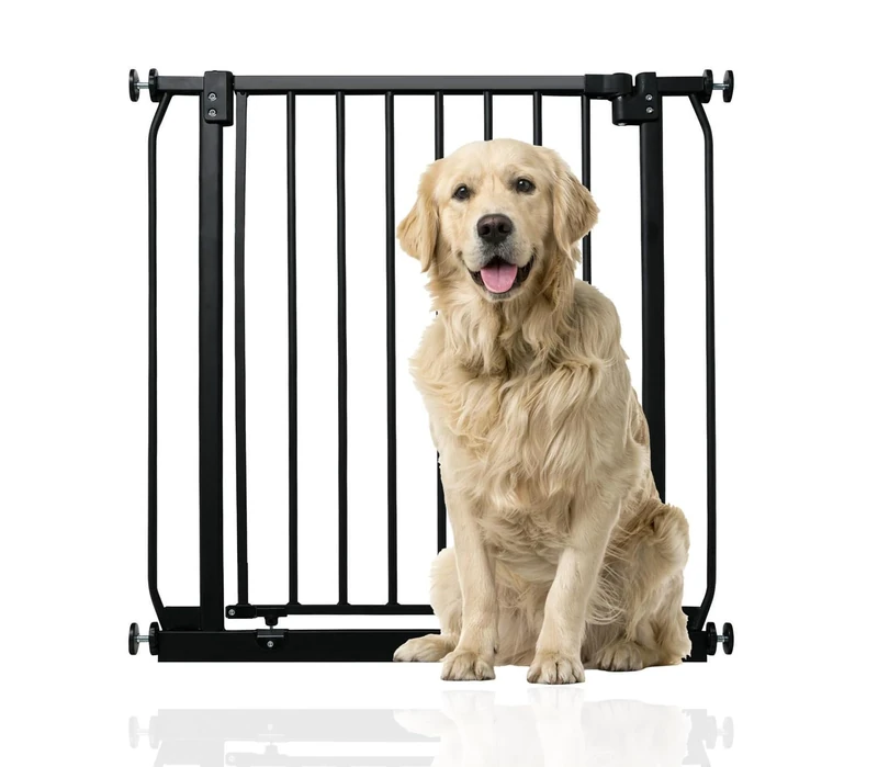
Bettacare Elite Pressure Dog Gate Narrow, 65.5cm - 74.5cm, Matt Black, Narrow Pressure Fit Pet Gate for Dog and Puppy, Pet and Dog Barrier, Easy Installation
Bettacare
Bettacare Wooden Elegance Dog Gate, Natural, 63cm - 71cm, Pressure Fit Safety Gate, Safety Gate for Puppy, Dog and Pet, Stylish Design and Easy Installation
Bettacare
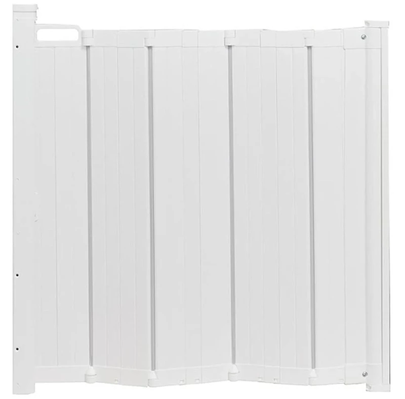
Bettacare Automatic Folding Retractable Dog Gate, 55cm - 89cm, White, Folding Stair Gate for Pets, Retractable Dog Safety Gate
Bettacare
Safetots Elite Pressure Safety Gate, 71cm - 80cm, Matt Black, Pressure Fit Stair Gate, Baby Gate for Doors Hallways and Spaces, Safety Barrier, Easy Installation
Safetots