£79.69

This is the most expensive it has ever been. Walk away.

£80 today · previous high £80 · all-time low £78

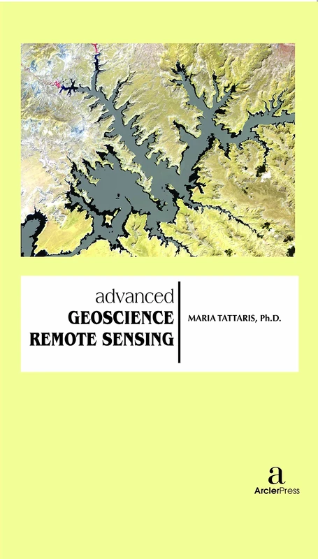
Advanced Geoscience Remote Sensing

Amazon

Price History & Forecast

Grey patches = out of stock. Cheaper = lower on the chart. Hover for exact prices.

Last 61 days · 61 data points (no recent data)

Historical
Generating forecast…
£79.69 £77.51 £77.99 £78.46 £78.94 £79.41 £79.89 25 July 2026 09 August 2026 24 August 2026 08 September 2026 23 September 2026
View at Amazon ↗

Price data last checked 30 day(s) ago - will refresh soon

NEW HERE?

Amazon shows you one price. We show you all of them.

Tosheroon watches Amazon prices so you don't have to. Every product on Amazon has a price history — we make it visible. Set the price you'd actually pay, and we'll email you the second it gets there. No app, no account, one email.

WHAT'S ON THIS PAGE

↑ Price chart
when this has been cheap or pricey
↑ Forecast
where the price is heading next
↓ Statistics
all-time high & low, recent range
↑ Price alert
name your number, we'll email you

Price Distribution

Price distribution over 61 days • 3 price levels

Days at Price
Current Price
13 days 44 days 4 days · current 0 11 22 33 44 £78 £79 £80 Days at Price

Price Analysis

Most common price: £79 (44 days, 72.1%)

Price range: £78 - £80

Price levels: 3 different prices over 61 days

Description

Nowadays, advanced remote sensing technology plays tremendous roles to build a quantitative and comprehensive understanding of how the Earth system operates. The advanced remote sensing technology is also used widely to monitor and survey the natural disasters and man-made pollution. Our planet is nowadays continuously monitored by powerful remote sensors operating in wide portions of the electromagnetic spectrum. Geoscience, or earth science, covers all areas of sciences that relate to planet Earth. Such fields include soil science, atmospheric science, climate science, geochemistry, geobiology, geology and oceanography, to name just a few. Research into the area of geosciences allows us to better understand the Earth’s past, present and future. This is particularly important now as many parts of the planet, and the interactions between them, are changing at a rapid rate, for example oceans, landscapes the atmosphere and climate. Remote sensing is a tool with the potential to improve research within this area due advantages such as the possibility to cover large areas at a high spatial resolution, repeatability of measurements allowing for the monitoring through time, non-intrusiveness of measurements and that data can be obtained/measured quickly compared to manual data collection equivalents. This book, Advanced Geoscience Remote Sensing, presents research topics that make use of remote sensing to investigate key topics within the area of geosciences, for example glacial changes and mapping, land-cover change, carbon stock estimation, model verification, the mapping and monitoring of dust storms, shoreline changes, evaluating impacts of heavy rainfall, impacts of urbanization on vegetation and water resources, tree mortality rates, snow depth estimates, changes in desert sand dunes and thermal mapping of volcanoes. Remote sensing data types and techniques used for the above studies include multispectral satellite imagery (e.g. Landsat, MODIS, ASTER and SPOT), data captured using Unmanned Aerial Vehicles (UAVs), radar imagery, the generation of DEMs and clustering methods. While rigorous enough for the most experienced of scientists, the techniques are well designed and integrated, making the book’s content intuitive, clearly presented, and practical in its implementation. It also identifies that there should be a carefully planned effort on research and application development for the advanced geoscience and related engineering remote sensing techniques. An overview of the most advanced remote sensing systems and algorithms is presented and introduces the most advanced image technologies and their applications for both classification and analysis with up-to-date examples of successful projects and case studies. Chapters are contributed by renowned global scientists and experts in the remote sensing field. Techniques used in geologic mapping and mineral and hydrocarbon exploration, image analysis used in mine development and petroleum exploitation, site evaluation, ground water development, surface water monitoring and geothermal resource exploitation are emphasized. It also exhibits how imagery is used to establish environmental baselines; monitor land, air, and water quality; map hazards; and determine the effects of global warming. This book will be of valuable for students, researchers and practitioners, as well as working professionals in petroleum, mining, groundwater, surface water, engineering, and environmental projects.

Product Specifications

Format
hardcover
Domain
Amazon UK
Release Date
30 November 2016
Listed Since
25 February 2017

Barcode

No barcode data available

Similar Products You Might Like
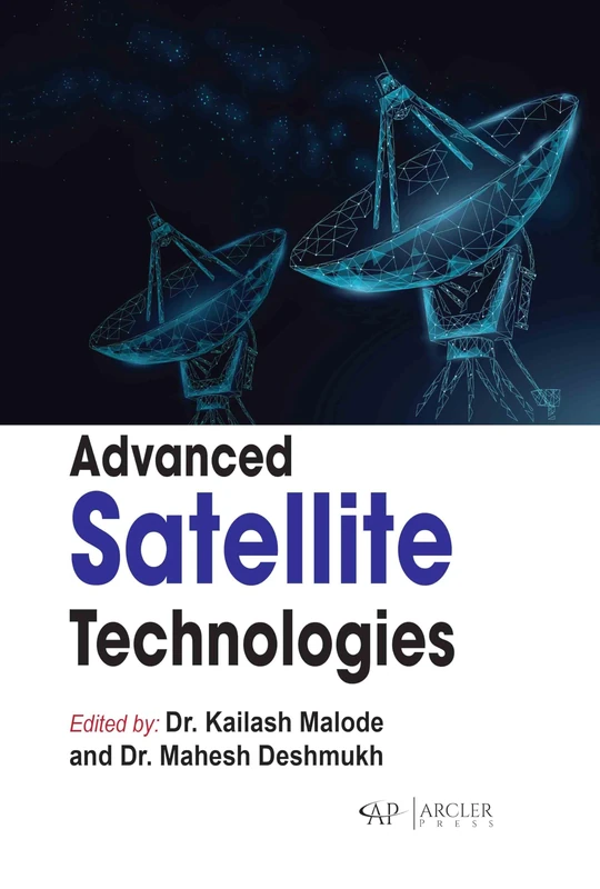
Advanced Satellite Technologies

99% match

Advanced Satellite Technologies

£134.20 24 Sep 2026
Advance Cyber Security
99% match

Advance Cyber Security

£179.00 08 Sep 2026
Advanced Elastomeric Materials
99% match

Advanced Elastomeric Materials

£179.00 24 Sep 2026
Wave Motion and Applied Science
99% match

Wave Motion and Applied Science

£79.69 23 Sep 2026
Service-oriented Software System Engineering
99% match

Service-oriented Software System Engineering

£80.13 23 Sep 2026
Computational Biology
99% match

Computational Biology

£71.12 18 Sep 2026
Ecohydrology
99% match

Ecohydrology

£78.72 23 Sep 2026
Applied Mathematics in Engineering
99% match

Applied Mathematics in Engineering

£179.00 27 Sep 2026
Secure Data Mining
99% match

Secure Data Mining

£164.00 28 Aug 2026
Synthetic Biology and Chemistry
99% match

Synthetic Biology and Chemistry

Arcler Press

£137.89 20 Sep 2026
Engineering Materials
99% match

Engineering Materials

£148.51 24 Sep 2026
Advanced Building Construction and Materials Handbook
99% match

Advanced Building Construction and Materials Handbook

£178.00 24 Sep 2026
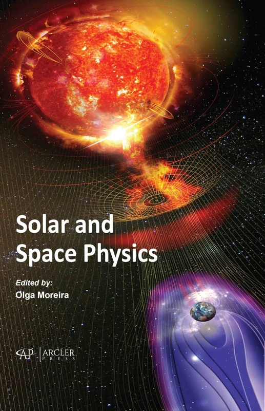
Solar and Space Physics
99% match

Solar and Space Physics

£136.00 13 Sep 2026
Concurrent, Parallel and Distributed Computing

99% match

Concurrent, Parallel and Distributed Computing

£113.80 23 Sep 2026
Environmental Quality Management
99% match

Environmental Quality Management

£76.15 11 Sep 2026
Composite Materials Science and Engineering
99% match

Composite Materials Science and Engineering

£80.73 24 Sep 2026
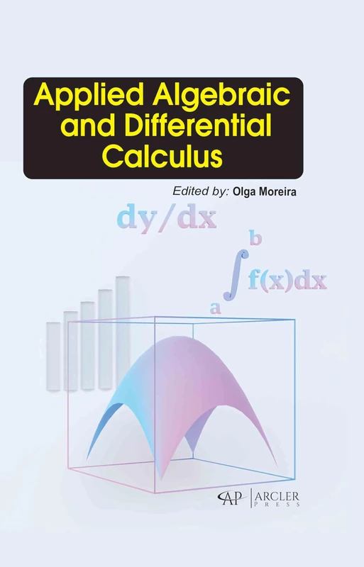
Applied Algebraic and Differential Calculus
99% match

Applied Algebraic and Differential Calculus

£136.00 24 Sep 2026
Basics for Numerical and Symbolic Computation

99% match

Basics for Numerical and Symbolic Computation

£94.03 23 Sep 2026
Neuroscience and Computational Intelligence

99% match

Neuroscience and Computational Intelligence

£79.69 23 Sep 2026
Optical Methods for Solid Mechanics
99% match

Optical Methods for Solid Mechanics

£74.00 18 Sep 2026
Applied Stochastic Hydrogeology - Earth Sciences Book

99% match

Applied Stochastic Hydrogeology - Earth Sciences Book

£83.71 03 Oct 2026
Algorithms & Data Structures
99% match

Algorithms & Data Structures

£79.32 05 Sep 2026
Information Science
99% match

Information Science

£76.35 09 Sep 2026
Software Project Management
99% match

Software Project Management

£78.60 18 Sep 2026