We can't find the internet
Attempting to reconnect
Something went wrong
Hang in there while we get back on track

£179.49
This is the usual price. Wait for it to drop, or tell us your number.
£179 today · usual range £154–£180 · best ever £154
IGI Global Spatial Planning in the Big Data Revolution (Advances in Environmental Engineering and Green Technologies)
Price data last checked 26 day(s) ago - will refresh soon
We'll watch every seller, every day. One email when your price arrives.
Price History & Forecast
Grey patches = out of stock. Cheaper = lower on the chart. Hover for exact prices.
Last 65 days · 65 data points (no recent data)
Price data last checked 26 day(s) ago - will refresh soon
NEW HERE?
Amazon shows you one price. We show you all of them.
Tosheroon watches Amazon prices so you don't have to. Every product on Amazon has a price history — we make it visible. Set the price you'd actually pay, and we'll email you the second it gets there. No app, no account, one email.
WHAT'S ON THIS PAGE
when this has been cheap or pricey
where the price is heading next
all-time high & low, recent range
name your number, we'll email you
Price Distribution
Price distribution over 65 days • 3 price levels
Price Analysis
Most common price: £180 (49 days, 75.4%)
Price range: £154 - £180
Price levels: 3 different prices over 65 days
Description
Product Specifications
- Brand
- IGI Global
- Format
- hardcover
- ASIN
- 1522579273
- Domain
- Amazon UK
- Release Date
- 15 March 2019
- Listed Since
- 11 January 2019
Barcode
No barcode data available
Similar Products You Might Like

Thinking Big Data in Geography: New Regimes, New Research
University of Nebraska Press

Big Data Support of Urban Planning and Management: The Experience in China (Advances in Geographic Information Science)
Springer
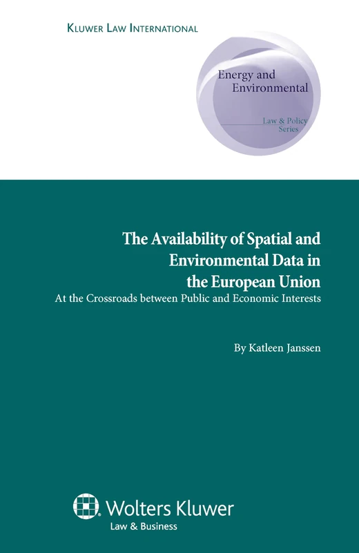
Availability of Spatial and Environmental Data in the European Union: At the Crossroads between Public and Economic Interests (Energy and Environmental Law & Policy Series, 10)
Kluwer Law International
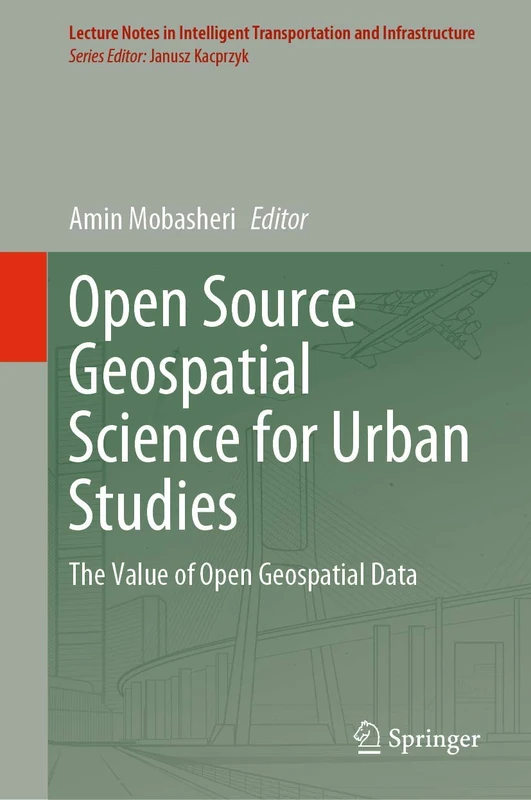
Open Source Geospatial Science for Urban Studies: The Value of Open Geospatial Data (Lecture Notes in Intelligent Transportation and Infrastructure)
Springer
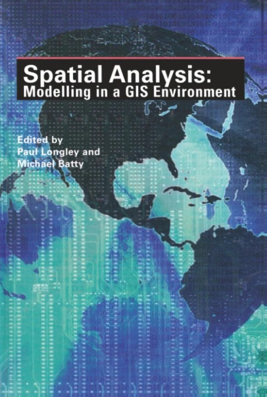
Spatial Analysis: Modelling in a GIS Environment (Modern Mission Era, 1792-1992: An)
Wiley