We can't find the internet
Attempting to reconnect
Something went wrong!
Hang in there while we get back on track
£69.00
British Archaeological Reports Oxford Ltd The Place-Name Evidence for a Routeway Network in Early Medieval England: 589 (British Archaeological Reports British Series)
Price data last checked 60 day(s) ago - refreshing...
We'll watch every seller, every day. One email when your price arrives.
It has never been this cheap. We have no record of a lower price.
£69 today · cheaper than every other day in the last 3 months
NEW HERE?
Amazon shows you one price. We show you all of them.
Tosheroon watches Amazon prices so you don't have to. Every product on Amazon has a price history — we make it visible. Set the price you'd actually pay, and we'll email you the second it gets there. No app, no account, one email.
WHAT'S ON THIS PAGE
when this has been cheap or pricey
where the price is heading next
all-time high & low, recent range
name your number, we'll email you
Price History & Forecast
Grey patches = out of stock. Cheaper = lower on the chart. Hover for exact prices.
Last 31 days • 31 data points (No recent data available)
Price Distribution
Price distribution over 31 days • 1 price levels
Price Analysis
Most common price: £69 (31 days, 100.0%)
Price range: £69 - £69
Price levels: 1 different prices over 31 days
Description
Product Specifications
- Format
- paperback
- ASIN
- 140731209X
- Domain
- Amazon UK
- Release Date
- 12 December 2013
- Listed Since
- 18 December 2013
Barcode
No barcode data available
Similar Products You Might Like
Roadworks: Medieval Britain, Medieval Roads (Manchester Medieval Literature and Culture)
Manchester University Press
Roman Roads: New Evidence - New Perspectives
De Gruyter
Roman Infrastructure in Early Medieval Britain: The Adaptations of the Past in Text and Stone (The Early Medieval North Atlantic)
Amsterdam University Press
Beyond the Medieval Village: The Diversification of Landscape Character in Southern Britain (Medieval History and Archaeology)
Oxford University Press
Streetscapes: Historic Routes through English Towns: Navigating Historic English Towns
Lund Humphries Publishers Ltd
The Art, Science, and Technology of Medieval Travel: 6 (AVISTA Studies in the History of Medieval Technology, Science and Art)
Routledge
The German Ocean: Medieval Europe Around the North Sea (Studies in the Archaeology of Medieval Europe)
Equinox
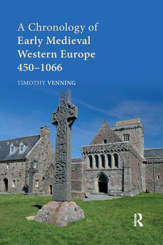
A Chronology of Early Medieval Western Europe: 450–1066
Routledge
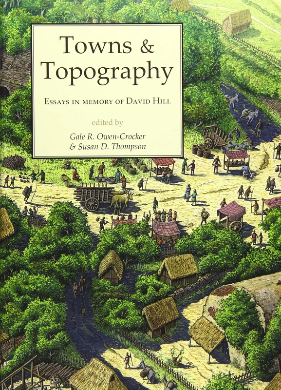
Towns and Topography: Essays in Memory of David H. Hill
Oxbow Books
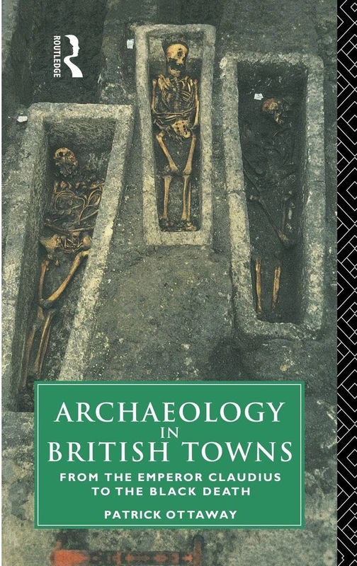
Archaeology in British Towns: From the Emperor Claudius to the Black Death
Routledge
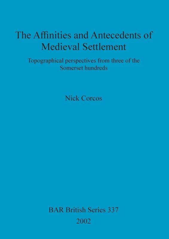
The affinities and antecedents of medieval settlement: Topographical perspectives from three of the Somerset hundreds: 337 (British Archaeological Reports British Series)
British Archaeological Reports
Monasteria Et Territoria Elites, Edilicia Y Territorio En El Mediterraneo Medieval (siglos V-XI): Elites, edilicia y territorio en el Mediterráneo ... Archaeological Reports International Series)
British Archaeological Reports Oxford Ltd
The Archaeology of Roman Britain: Biography and Identity (Routledge Studies in Archaeology)
Routledge
A A Persistence of Place: A Study of Continuity and Regionality in the Roman and Early Medieval Rural Settlement Patterns of Norfolk, Kent and ... Archaeological Reports British Series)
British Archaeological Reports Oxford Ltd
Atlas of Medieval Britain
Routledge
The Growth of the Medieval City: From Late Antiquity to the Early Fourteenth Century (A History of Urban Society in Europe)
Routledge
The Medieval Networks in East Central Europe: Commerce, Contacts, Communication
Routledge
Roma Traversata: Tracing Historic Pathways through Rome
Cornell University Press
The Routledge Companion to Medieval English Literature (Routledge Literature Companions)
Routledge
The Charisma of Distant Places: Travel and Religion in the Early Middle Ages (Studies in Medieval History and Culture)
Routledge
Waterways and Canal-Building in Medieval England (Medieval History and Archaeology)
Oxford University Press
Archaeology and Place-Names and History: An Essay on Problems of Co-ordination (Routledge Library Editions: Archaeology)
Routledge
Routledge - Space in the Medieval West Book
Routledge
The Archaeology of Roman Britain: Biography and Identity (Routledge Studies in Archaeology)
Routledge