We can't find the internet
Attempting to reconnect
Something went wrong!
Hang in there while we get back on track
£81.85
CRC Press Satellite-Based Mitigation and Adaptation Scenarios for Sea Level Rise in the Lower Niger Delta (IHE Delft PhD Thesis Series)
Price data last checked 46 day(s) ago - refreshing...
We'll watch every seller, every day. One email when your price arrives.
This is the most expensive it has ever been. Walk away.
£82 today · previous high £82 · all-time low £81
NEW HERE?
Amazon shows you one price. We show you all of them.
Tosheroon watches Amazon prices so you don't have to. Every product on Amazon has a price history — we make it visible. Set the price you'd actually pay, and we'll email you the second it gets there. No app, no account, one email.
WHAT'S ON THIS PAGE
when this has been cheap or pricey
where the price is heading next
all-time high & low, recent range
name your number, we'll email you
Price History & Forecast
Grey patches = out of stock. Cheaper = lower on the chart. Hover for exact prices.
Last 45 days • 45 data points (No recent data available)
Price Distribution
Price distribution over 45 days • 2 price levels
Price Analysis
Most common price: £81 (28 days, 62.2%)
Price range: £81 - £82
Price levels: 2 different prices over 45 days
Description
Product Specifications
- Brand
- CRC Press
- Format
- paperback
- ASIN
- 1138607231
- Domain
- Amazon UK
- Release Date
- 25 May 2018
- Listed Since
- 20 February 2018
Barcode
No barcode data available
Similar Products You Might Like
Sea-Level Rise and Coastal Subsidence: Causes, Consequences, and Strategies: 2 (Coastal Systems and Continental Margins, 2)
Springer
Flood Monitoring through Remote Sensing (Springer Remote Sensing/Photogrammetry)
Springer
Dam Break Modelling, Risk Assessment and Uncertainty Analysis for Flood Mitigation: IHE-PhD Thesis, Unesco-IHE, Delft, The Netherlands
CRC Press
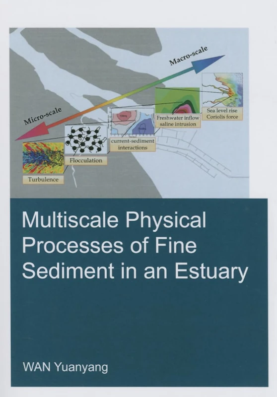
Multiscale Physical Processes of Fine Sediment in an Estuary (IHE Delft PhD Thesis Series)
CRC Press
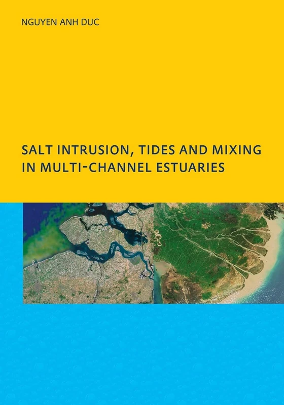
Salt Intrusion, Tides and Mixing in Multi-Channel Estuaries: PhD: UNESCO-IHE Institute, Delft
CRC Press
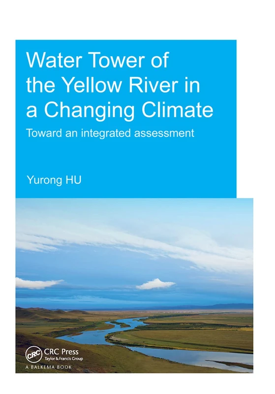
Water Tower of the Yellow River in a Changing Climate: Toward an Integrated Assessment (IHE Delft PhD Thesis Series)
CRC Press
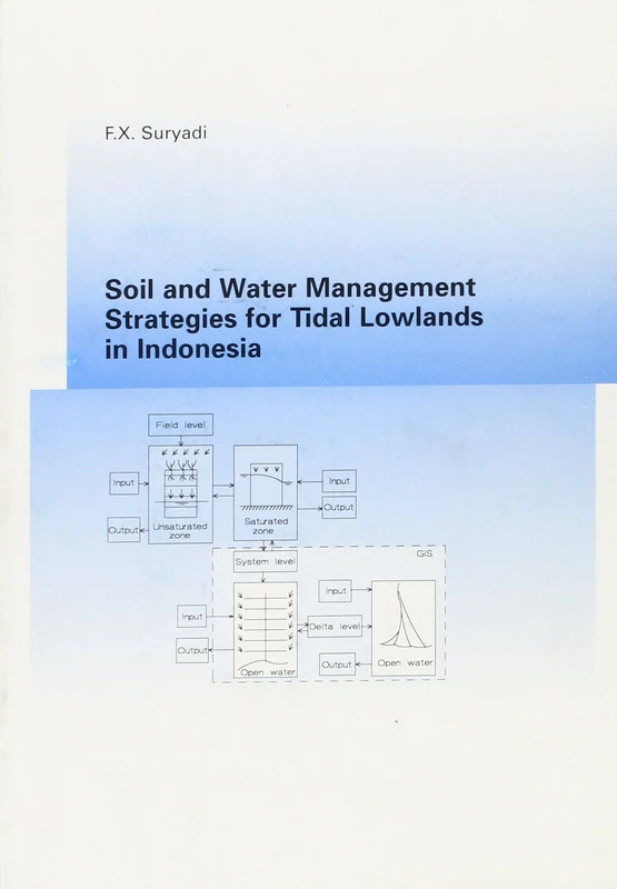
Soil and Water Management Strategies for Tidal Lowlands in Indonesia
CRC Press
The Mekong Delta System: Interdisciplinary Analyses of a River Delta (Springer Environmental Science and Engineering)
Springer
Global Change in Africa: 86 (Space Sciences Series of ISSI, 86)
Springer
Hazard Modeling and Assessment of the Nile Delta Coast: Remote Sensing and GIS Applications
Springer
Flood Resources Utilization in the Yangtze River Basin
Springer
Flood Geomorphology
Perspectives on the Restoration of the Mississippi Delta: The Once and Future Delta (Estuaries of the World)
Springer
Satellite Remote Sensing in Hydrological Data Assimilation
Springer

The Lower Damodar River, India: Understanding the Human Role in Changing Fluvial Environment (Advances in Asian Human-Environmental Research)
Springer
Coastal Hazards: 6 (Coastal Research Library, 6)
Springer
Floods in a Megacity: Geospatial Techniques in Assessing Hazards, Risk and Vulnerability (Springer Geography)
Springer
The Lower Damodar River, India: Understanding the Human Role in Changing Fluvial Environment: 3 (Advances in Asian Human-Environmental Research, 3)
Springer
Disaster Resilience Management of Infrastructure Systems: Computational Modeling and Geospatial Technologies
CRC Press
Flood Warning, Forecasting and Emergency Response
Springer
Climate Change Adaptation, Resilience and Hazards (Climate Change Management)
Springer
Satellite Rainfall Applications for Surface Hydrology
Springer
Remote Sensing and Modeling: Advances in Coastal and Marine Resources: 9 (Coastal Research Library, 9)
Springer
Remote Sensing and Climate Dynamics: Monitoring Impacts, Understanding Change, and Guiding Solutions
Elsevier