£43.99

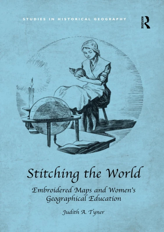
Routledge Stitching the World: Embroidered Maps and Women’s Geographical Education (Studies in Historical Geography)

Price data last checked 12 day(s) ago - will refresh soon

View at Amazon

We'll watch every seller, every day. One email when your price arrives.

It has never been this cheap. We have no record of a lower price.

£44 today · cheaper than every other day in the last 3 months

NEW HERE?

Amazon shows you one price. We show you all of them.

Tosheroon watches Amazon prices so you don't have to. Every product on Amazon has a price history — we make it visible. Set the price you'd actually pay, and we'll email you the second it gets there. No app, no account, one email.

WHAT'S ON THIS PAGE

↓ Price chart
when this has been cheap or pricey
↓ Forecast
where the price is heading next
↓ Statistics
all-time high & low, recent range
↑ Price alert
name your number, we'll email you

Price History & Forecast

Grey patches = out of stock. Cheaper = lower on the chart. Hover for exact prices.

Last 79 days • 79 data points (No recent data available)

Historical
Generating forecast...
£45.59 £43.83 £44.21 £44.60 £44.98 £45.37 £45.75 09 April 2026 28 April 2026 18 May 2026 06 June 2026 26 June 2026

Price Distribution

Price distribution over 79 days • 2 price levels

Days at Price
Current Price
60 days · current 19 days 0 15 30 45 60 £44 £46 Days at Price

Price Analysis

Most common price: £44 (60 days, 75.9%)

Price range: £44 - £46

Price levels: 2 different prices over 79 days

Description

From the late eighteenth century until about 1840, schoolgirls in the British Isles and the United States created embroidered map samplers and even silk globes. Hundreds of British maps were made and although American examples are more rare, they form a significant collection of artefacts. Descriptions of these samplers stated that they were designed to teach needlework and geography. The focus of this book is not on stitches and techniques used in 'drafting' the maps, but rather why they were developed, how they diffused from the British Isles to the United States, and why they were made for such a brief time. The events of the late eighteenth and early nineteenth centuries stimulated an explosion of interest in geography. The American and French Revolutions, the wars between France and England, the War of 1812, Captain Cook's voyages, and the explorations of Lewis and Clark made the study of places exciting and important. Geography was the first science taught to girls in school. This period also coincided with major changes in educational theories and practices, especially for girls, and this book uses needlework maps and globes to chart a broader discussion of women's geographic education. In this light, map samplers and embroidered globes represent a transition in women's education from 'accomplishments' in the eighteenth century to challenging geographic education and conventional map drawing in schools and academies of the second half of the nineteenth century. There has been little serious study of these maps by cartographers and, moreover, historians of cartography have largely neglected the role of women in mapping. Children's maps have not been studied, although they might have much to offer about geographical teaching and perceptions of a period, and map samplers have been dismissed because they are the work of schoolgirls. Needlework historians, likewise, have not done in depth studies of map samplers until recently. Stitching the World is an interdisciplinary work drawing on cartography, needlework, and material culture. This book for the first time provides a critical analysis of these artefacts, showing that they offer significant insights into both eighteenth- and nineteenth-century geographic thought and cartography in the USA and the UK and into the development of female education.

Product Specifications

Format
paperback
Domain
Amazon UK
Release Date
30 April 2018
Listed Since
28 January 2018

Barcode

No barcode data available