We can't find the internet
Attempting to reconnect
Something went wrong
Hang in there while we get back on track
£125.00
CRC Press Low-cost space-borne data for inundation modelling: topography, flood extent and water level: UNESCO-IHE PhD Thesis (IHE Delft PhD Thesis Series)
Price data last checked 18 day(s) ago - will refresh soon
We'll watch every seller, every day. One email when your price arrives.
This is the most expensive it has ever been. Walk away.
£125 today · previous high £125 · all-time low £111
NEW HERE?
Amazon shows you one price. We show you all of them.
Tosheroon watches Amazon prices so you don't have to. Every product on Amazon has a price history — we make it visible. Set the price you'd actually pay, and we'll email you the second it gets there. No app, no account, one email.
WHAT'S ON THIS PAGE
when this has been cheap or pricey
where the price is heading next
all-time high & low, recent range
name your number, we'll email you
Price History & Forecast
Grey patches = out of stock. Cheaper = lower on the chart. Hover for exact prices.
Last 73 days · 73 data points (no recent data)
Price Distribution
Price distribution over 73 days • 2 price levels
Price Analysis
Most common price: £111 (72 days, 98.6%)
Price range: £111 - £125
Price levels: 2 different prices over 73 days
Description
Product Specifications
- Brand
- CRC Press
- Format
- hardcover
- ASIN
- 1138373370
- Domain
- Amazon UK
- Release Date
- 27 September 2018
- Listed Since
- 10 March 2019
Barcode
No barcode data available
Similar Products You Might Like
Interactions between Land Use and Flood Management in the Chi River Basin: UNESCO-IHE PhD Thesis
CRC Press

Changes in Flood Risk in Europe (Iahs Special Publication)
CRC Press
Flood Inundation Modeling and Hazard Mapping under Uncertainty in the Sungai Johor Basin, Malaysia (IHE Delft PhD Thesis Series)
CRC Press
Point Cloud Data Fusion for Enhancing 2D Urban Flood Modelling (IHE Delft PhD Thesis Series)
CRC Press
Point Cloud Data Fusion for Enhancing 2D Urban Flood Modelling (IHE Delft PhD Thesis Series)
CRC Press
Practical Channel Hydraulics, 2nd edition: Roughness, Conveyance and Afflux
CRC Press
Flood Damage Assessment and Management: 94 (Water Science and Technology Library, 94)
Springer
Flood Damage Assessment and Management: 94 (Water Science and Technology Library, 94)
Springer
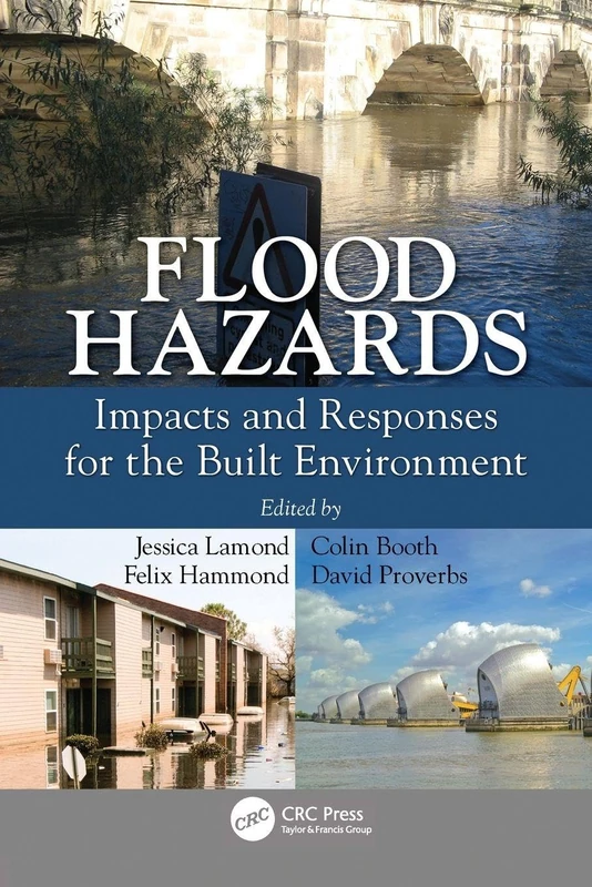
Flood Hazards: Impacts and Responses for the Built Environment
CRC Press
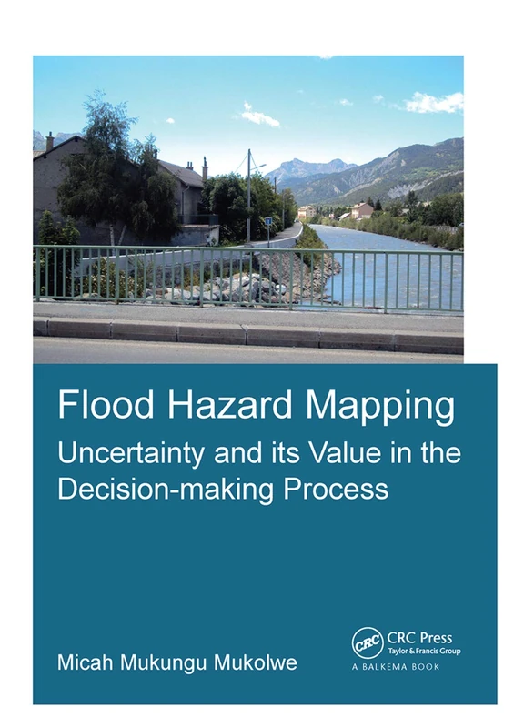
Flood Hazard Mapping: Uncertainty and its Value in the Decision-making Process (IHE Delft PhD Thesis Series)
CRC Press
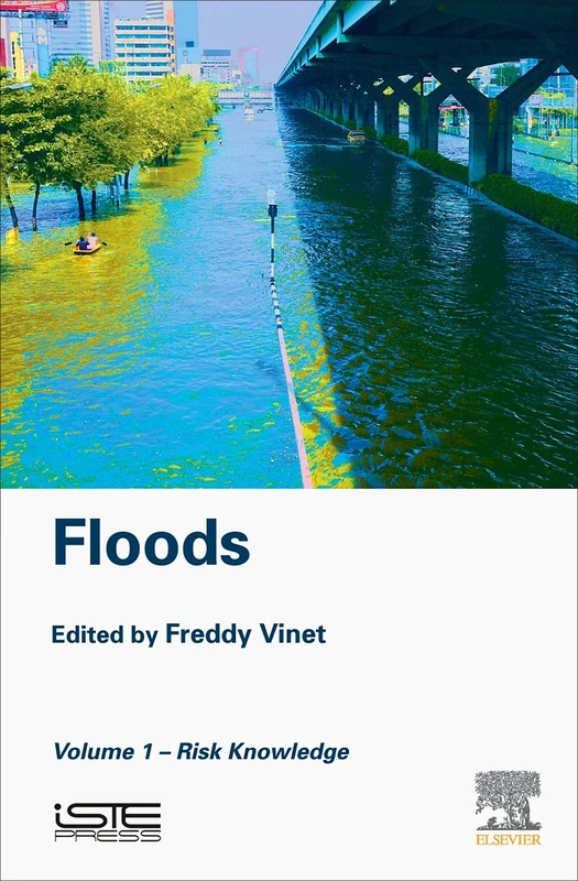
Floods: Volume 1 - Risk Knowledge
Elsevier
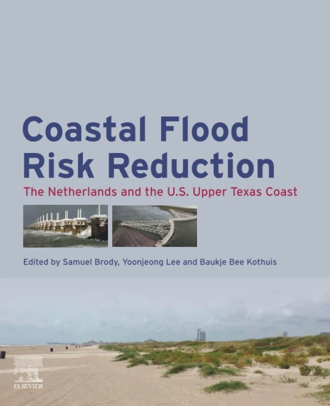
Coastal Flood Risk Reduction: The Netherlands and the U.S. Upper Texas Coast
Elsevier

Improving Flood Prediction Assimilating Uncertain Crowdsourced Data into Hydrologic and Hydraulic Models (IHE Delft PhD Thesis Series)
CRC Press
Flood Risk Management: Global Case Studies of Governance, Policy and Communities (Earthscan Water Text)
Routledge
Flood Damage Survey and Assessment: New Insights from Research and Practice: 228 (Geophysical Monograph Series)
American Geophysical Union
Handbook of Flood Management: Volume I: Flood Risk Simulation, Warning, Assessment & Mitigation
Operational Flood Forecasting, Warning and Response for Multi-Scale Flood Risks in Developing Cities: Dissertation Submitted in Fullfillment of the ... on Monday, (IHE Delft PhD Thesis Series)
CRC Press
Floods: Volume 2- Risk Management
Elsevier
Urban Flood Management: Introduction - 1st International Expert Meeting on Urban Flood Management
CRC Press
Applied Uncertainty Analysis For Flood Risk Management
Imperial College Press
Global Flood Hazard: Applications in Modeling, Mapping, and Forecasting: 233 (Geophysical Monograph Series)
American Geophysical Union
Estimating the Impacts of Urban Growth on Future Flood Risk: A Comparative Study (IHE Delft PhD Thesis Series)
CRC Press
Urban Flood Management
CRC Press