We can't find the internet
Attempting to reconnect
Something went wrong!
Hang in there while we get back on track
£93.29
Wiley Introducing Geographic Information Systems with ArcGIS: A Workbook Approach to Learning GIS
Price data last checked 39 day(s) ago - refreshing...
We'll watch every seller, every day. One email when your price arrives.
This is the most expensive it has ever been. Walk away.
£93 today · previous high £93 · all-time low £78
NEW HERE?
Amazon shows you one price. We show you all of them.
Tosheroon watches Amazon prices so you don't have to. Every product on Amazon has a price history — we make it visible. Set the price you'd actually pay, and we'll email you the second it gets there. No app, no account, one email.
WHAT'S ON THIS PAGE
when this has been cheap or pricey
where the price is heading next
all-time high & low, recent range
name your number, we'll email you
Price History & Forecast
Grey patches = out of stock. Cheaper = lower on the chart. Hover for exact prices.
Last 52 days • 52 data points (No recent data available)
Price Distribution
Price distribution over 52 days • 4 price levels
Price Analysis
Most common price: £90 (26 days, 50.0%)
Price range: £78 - £93
Price levels: 4 different prices over 52 days
Description
Product Specifications
- Brand
- Wiley
- Format
- paperback
- ASIN
- 1118159802
- Domain
- Amazon UK
- Release Date
- 17 May 2013
- Listed Since
- 01 July 2011
Barcode
No barcode data available
Similar Products You Might Like
Introduction to GIS Programming and Fundamentals with Python and ArcGIS®
CRC Press
Geographical Information Systems: Principles, Techniques, Management and Applications, Abridged
Wiley
Python for Geographic Information Systems (GIS): GIS Complete Guide
Majosta
CAD and GIS Integration
CRC Press
Database Issues in Geographic Information Systems: 6 (Advances in Database Systems, 6)
Springer
Computational Methods and GIS Applications in Social Science
CRC Press

Introduction to Geospatial Technology
W. H. Freeman

Fundamentals of Spatial Information Systems (Apic Studies in Data Processing)
Academic Press
Managing Geographic Information System Projects (Spatial Information Systems)
Oxford University Press
Python Geospatial Development - Third Edition: Develop sophisticated mapping applications from scratch using Python 3 tools for geospatial development
Packt Publishing
Progress and New Trends in 3D Geoinformation Sciences (Lecture Notes in Geoinformation and Cartography)
Springer
Introduction to QGIS: Open Source Geographic Information System
Locate Press
Frontiers of Geographic Information Technology
Springer
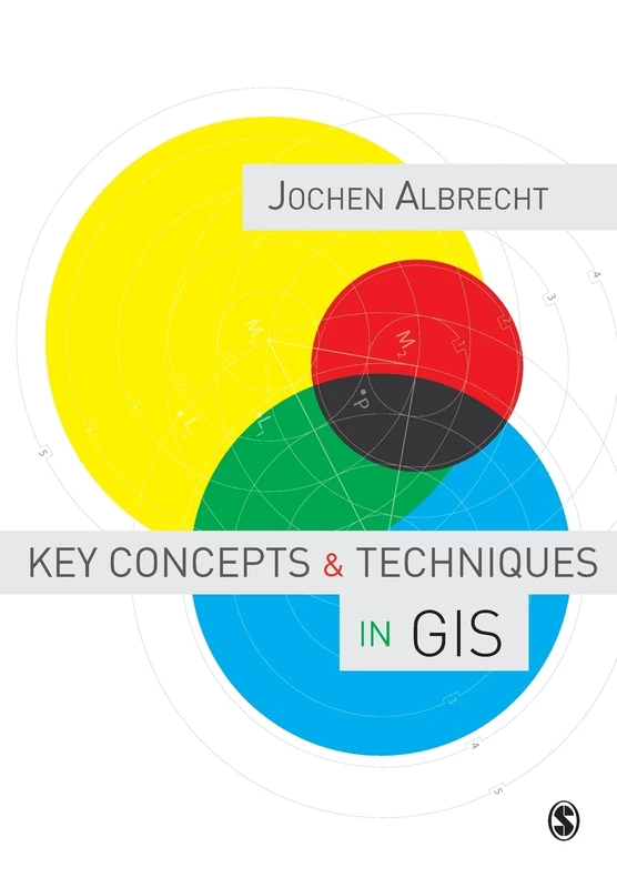
Key Concepts and Techniques in GIS
Sage Publications

Geospatial Technologies and Geography Education in a Changing World: Geospatial Practices and Lessons Learned (Advances in Geographical and Environmental Sciences)
Springer
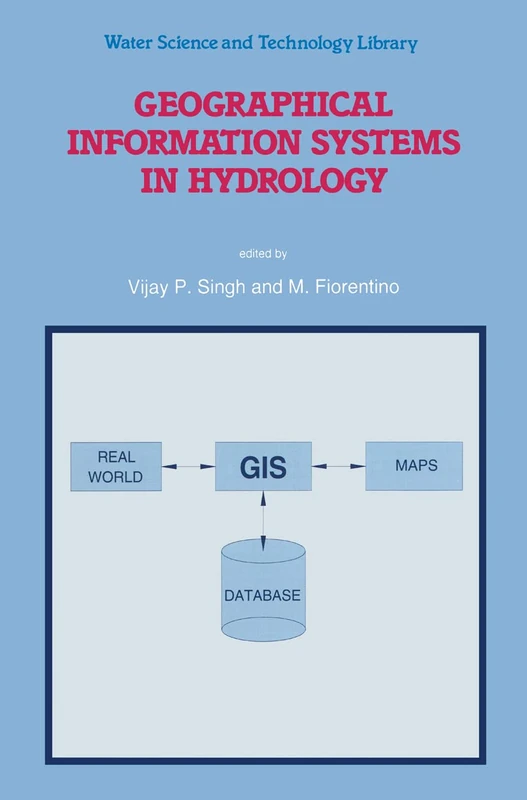
Geographical Information Systems in Hydrology: 26 (Water Science and Technology Library, 26)
Springer
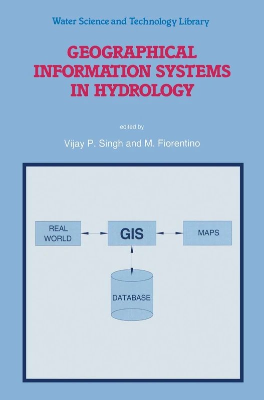
Geographical Information Systems in Hydrology: 26 (Water Science and Technology Library, 26)
Springer

ISO Standards for Geographic Information
Springer
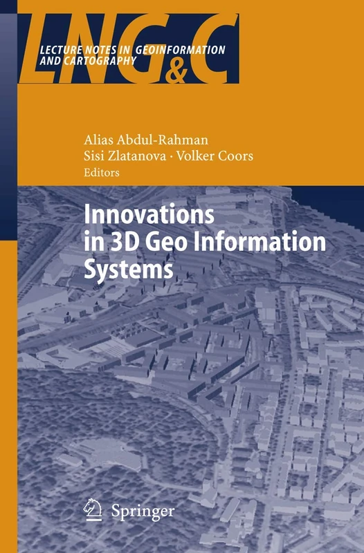
Innovations in 3D Geo Information Systems (Lecture Notes in Geoinformation and Cartography)
Springer
Information Fusion and Geographic Information Systems (IF&GIS 2013): Environmental and Urban Challenges (Lecture Notes in Geoinformation and Cartography)
Springer
International Perspectives on Teaching and Learning with GIS in Secondary Schools
Springer
Advances in 3D Geoinformation Systems (Lecture Notes in Geoinformation and Cartography)
Springer
GIS Environmental Modelling and Engineering
CRC Press
Advances in 3D Geo-Information Sciences (Lecture Notes in Geoinformation and Cartography)
Springer