We can't find the internet
Attempting to reconnect
Something went wrong!
Hang in there while we get back on track
£40.38
Stark Tables: For Clearing the Lunar Distance and Finding Universal Time by Sextant Observation Including a Convenient Way to Sharpen Celestial Navigation Skills While on Land
Price data last checked 38 day(s) ago - refreshing...
We'll watch every seller, every day. One email when your price arrives.
It has never been this cheap. We have no record of a lower price.
£40 today · cheaper than every other day in the last 3 months
NEW HERE?
Amazon shows you one price. We show you all of them.
Tosheroon watches Amazon prices so you don't have to. Every product on Amazon has a price history — we make it visible. Set the price you'd actually pay, and we'll email you the second it gets there. No app, no account, one email.
WHAT'S ON THIS PAGE
when this has been cheap or pricey
where the price is heading next
all-time high & low, recent range
name your number, we'll email you
Price History & Forecast
Grey patches = out of stock. Cheaper = lower on the chart. Hover for exact prices.
Last 53 days • 53 data points (No recent data available)
Price Distribution
Price distribution over 53 days • 4 price levels
Price Analysis
Most common price: £40 (26 days, 49.1%)
Price range: £40 - £43
Price levels: 4 different prices over 53 days
Description
Product Specifications
- Format
- hardcover
- ASIN
- 0914025686
- Domain
- Amazon UK
- Release Date
- 27 May 2010
- Listed Since
- 20 May 2021
Barcode
No barcode data available
Similar Products You Might Like
Nautical Almanac 2024 (Nautical Almanac For the Year)
Perigee Books
Navigational Enterprises in Europe and its Empires, 1730–1850 (Cambridge Imperial and Post-Colonial Studies)
MACMILLAN
Terrestrial Navigation: A Primer for Deck Officers and Officer of the Watch Exams
Routledge
Astronomical Discoveries You Can Make, Too!: Replicating the Work of the Great Observers (Springer Praxis Books)
Springer
Photo-guide to the Constellations: A Self-Teaching Guide to Finding Your Way Around the Heavens (The Patrick Moore Practical Astronomy Series)
Springer
Aristarchus of Samos: On the Sizes and Distances of the Sun and Moon: Greek Text, Translation, Analysis, and Relevant Scholia (Scientific Writings from the Ancient and Medieval World)
Routledge
Navigating the Night Sky: How to Identify the Stars and Constellations (The Patrick Moore Practical Astronomy Series)
Springer
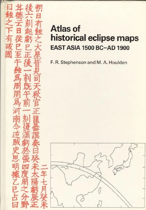
Atlas of Historical Eclipse Maps: East Asia 1500 BC–AD 1900
Cambridge University Press
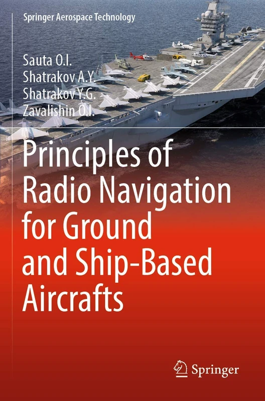
Principles of Radio Navigation for Ground and Ship-Based Aircrafts (Springer Aerospace Technology)
Springer
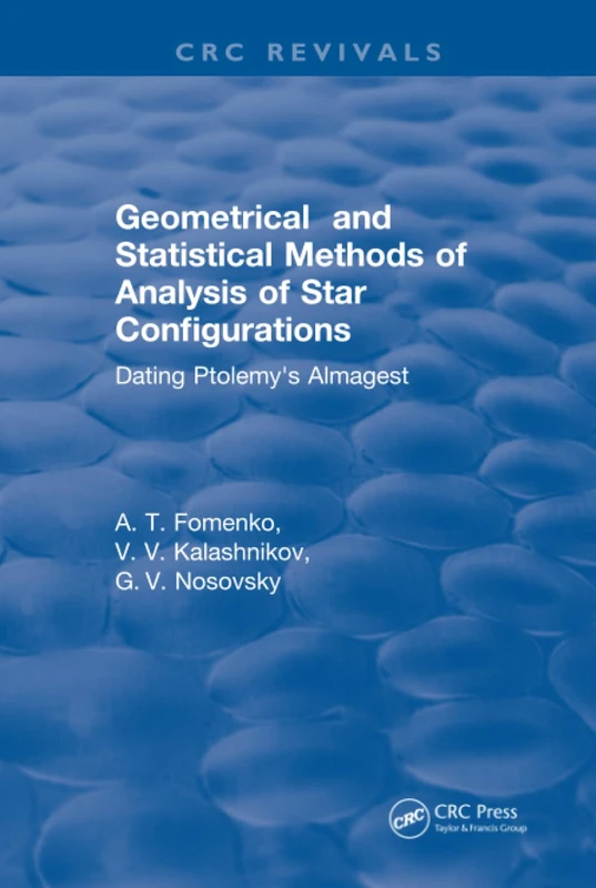
Geometrical and Statistical Methods of Analysis of Star Configurations Dating Ptolemy's Almagest
CRC Press
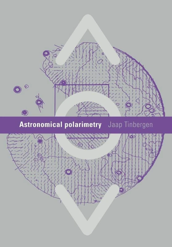
Astronomical Polarimetry
Cambridge University Press
The NexStar User’s Guide II: For the LCM, SLT, SE, CPC, SkyProdigy, and Astro Fi (The Patrick Moore Practical Astronomy Series)
Springer

The Most Crucial Knots to Know: Beginner Step-by-Step Guide How to Tie 40+ Knots for Camping, Survival, and Preppers (Adventure)
Sastrugi Press
An Anthology of Visual Double Stars
Cambridge University Press
The Barnard Objects: Then and Now (The Patrick Moore Practical Astronomy Series)
Springer
Charlie's Charts: U.S. Pacific Coast
Paradise Cay Publications
Astronomical Cuneiform Texts: Babylonian Ephemerides of the Seleucid Period for the Motion of the Sun, the Moon, and the Planets: 5 (Sources in the History of Mathematics and Physical Sciences, 5)
Springer
The Geography of Strabo: An English Translation, with Introduction and Notes
Cambridge University Press
Remote Sensing Tools for Exploration: Observing and Interpreting the Electromagnetic Spectrum
Springer
Geodetic Refraction: Effects of Electromagnetic Wave Propagation Through the Atmosphere
Springer
Stamping Through Astronomy
Springer
The Art of Seamanship: Evolving Skills, Exploring Oceans, and Handling Wind, Waves, and Weather (INTERNATIONAL MARINE-RMP)
McGraw-Hill Education

Manual of Offshore Surveying for Geoscientists and Engineers
Springer
Astronomically Speaking: A Dictionary of Quotations on Astronomy and Physics
CRC Press