We can't find the internet
Attempting to reconnect
Something went wrong
Hang in there while we get back on track
£65.96
Cambridge University Press The Tithe Maps of England and Wales: A Cartographic Analysis and County-by-County Catalogue
Price data last checked 37 day(s) ago - refreshing...
We'll watch every seller, every day. One email when your price arrives.
It has never been this cheap. We have no record of a lower price.
£66 today · cheaper than every other day in the last 3 months
NEW HERE?
Amazon shows you one price. We show you all of them.
Tosheroon watches Amazon prices so you don't have to. Every product on Amazon has a price history — we make it visible. Set the price you'd actually pay, and we'll email you the second it gets there. No app, no account, one email.
WHAT'S ON THIS PAGE
when this has been cheap or pricey
where the price is heading next
all-time high & low, recent range
name your number, we'll email you
Price History & Forecast
Grey patches = out of stock. Cheaper = lower on the chart. Hover for exact prices.
Last 54 days · 54 data points (no recent data)
Price Distribution
Price distribution over 54 days • 1 price levels
Price Analysis
Most common price: £66 (54 days, 100.0%)
Price range: £66 - £66
Price levels: 1 different prices over 54 days
Description
Product Specifications
- Format
- paperback
- ASIN
- 0521188806
- Domain
- Amazon UK
- Release Date
- 03 March 2011
- Listed Since
- 08 September 2010
Barcode
No barcode data available
Similar Products You Might Like
The Tithe Maps of England and Wales: A Cartographic Analysis and County-by-County Catalogue
Cambridge University Press
An Atlas and Index of the Tithe Files of Mid-Nineteenth-Century England and Wales
Cambridge University Press
Routledge Revivals: The Contentious Tithe (1976): The Tithe Problem and English Agriculture 1750-1850
Routledge
The Tithe War in England and Wales, 1881-1936
Boydell Press
The Success of English Land Tax Administration 1643–1733 (Palgrave Studies in the History of Finance)
MACMILLAN
International Handbook of Land and Property Taxation (Elgar original reference)
Edward Elgar Publishing
The Stamp Duty Land Tax Handbook
Routledge
Land Tenure, Boundary Surveys, and Cadastral Systems
CRC Press
Land Tenure, Boundary Surveys, and Cadastral Systems
CRC Press
Coming of Age Celebrations on Welsh Landed Estates: Gentry, Culture and Society, c.1770-1920: 8 (Boydell Studies in Rural History)
Boydell Press
Manors and Maps in Rural England, from the Tenth Century to the Seventeenth (Variorum Collected Studies)
Routledge
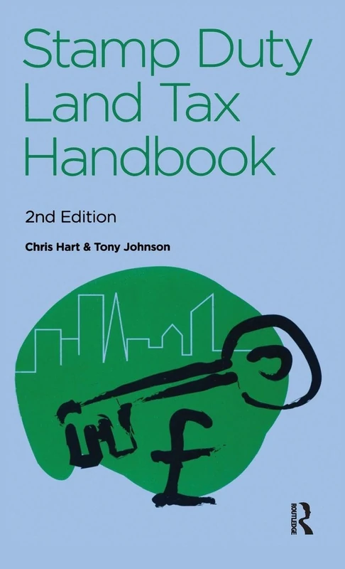
The Stamp Duty Land Tax Handbook
Routledge
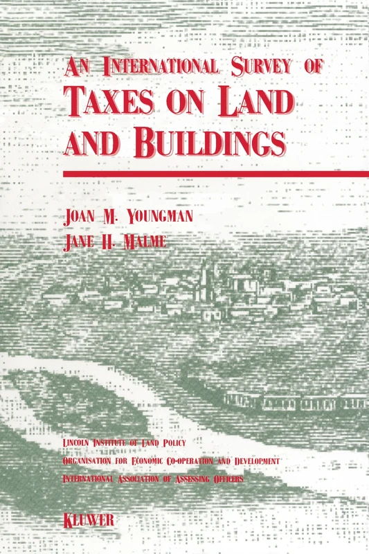
An International Survey of Taxes on Land and Buildings
Springer
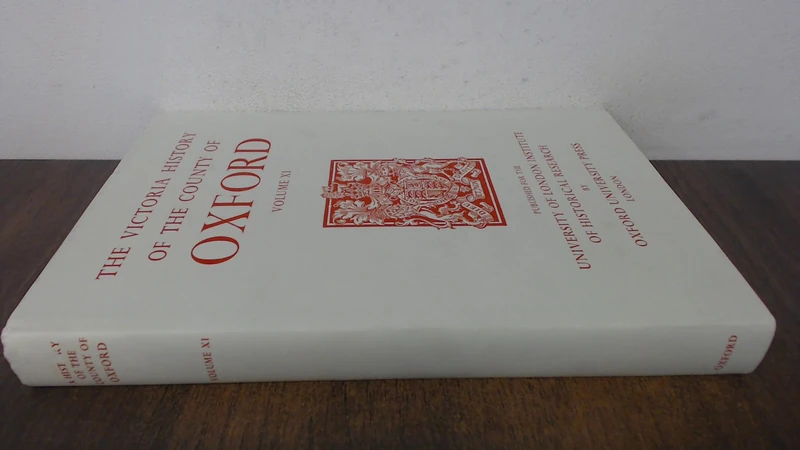
A A History of the County of Oxford: Volume XI: Wootton Hundred (Northern Part): 11 (Victoria County History)
Victoria County History
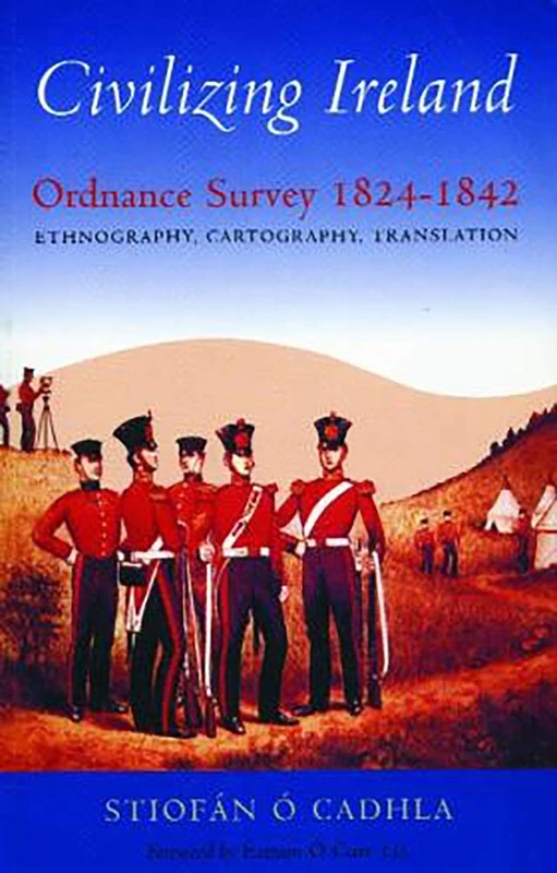
Civilizing Ireland: Ordnance Survey 1824-1842
Irish Academic Press

A Primer on Property Tax: Administration and Policy
Wiley-Blackwell
Constituting Modernity: Private Property in the East and West (Islamic Mediterranean): v. 5
I. B. Tauris & Company
A A History of the County of Cambridge and the Isle of Ely: X. Cheveley, Flendish, Staine and Staploe Hundreds: 10 (Victoria County History)
Oxford University Press
Routledge Land Value Taxation: An Applied Analysis - Book
Routledge

Financing the Landed Estate: Power, Politics and People on the Marquis of Anglesey’s Estate, 1812–1854 (Palgrave Studies in the History of Finance)
MACMILLAN
Virginia Tax Records from the Virginia Magazine of History and Biography,
Genealogical Publishing Company

Property Rights, Land Values and Urban Development: Betterment and Compensation in China
Edward Elgar Publishing
Tolley's Tax Cases 2019
Tolley
Routledge Elite Women and the Agricultural Landscape 1700-1830
Routledge