We can't find the internet
Attempting to reconnect
Something went wrong
Hang in there while we get back on track
£160.24
Springer Remote Sensing in Archaeology (Interdisciplinary Contributions to Archaeology)
Price data last checked 15 day(s) ago - will refresh soon
We'll watch every seller, every day. One email when your price arrives.
This is the most expensive it has ever been. Walk away.
£160 today · previous high £160 · all-time low £152
NEW HERE?
Amazon shows you one price. We show you all of them.
Tosheroon watches Amazon prices so you don't have to. Every product on Amazon has a price history — we make it visible. Set the price you'd actually pay, and we'll email you the second it gets there. No app, no account, one email.
WHAT'S ON THIS PAGE
when this has been cheap or pricey
where the price is heading next
all-time high & low, recent range
name your number, we'll email you
Price History & Forecast
Grey patches = out of stock. Cheaper = lower on the chart. Hover for exact prices.
Last 76 days · 76 data points (no recent data)
Price Distribution
Price distribution over 76 days • 2 price levels
Price Analysis
Most common price: £160 (47 days, 61.8%)
Price range: £152 - £160
Price levels: 2 different prices over 76 days
Description
Product Specifications
- Brand
- Springer
- Format
- hardcover
- ASIN
- 038744453X
- Domain
- Amazon UK
- Release Date
- 03 April 2007
- Listed Since
- 23 January 2007
Barcode
No barcode data available
Similar Products You Might Like
Earth Observation, Remote Sensing and Geoscientific Ground Investigations for Archaeological and Heritage Research
MDPI AG
Spatial Technology and Archaeology: The Archaeological Applications of GIS
CRC Press

Satellite Remote Sensing: A New Tool for Archaeology: 16 (Remote Sensing and Digital Image Processing, 16)
Springer

Researching the Archaeological Past through Imagined Narratives: A Necessary Fiction (Routledge Studies in Archaeology)
Routledge

Archaeologist's Toolkit: 7 volumes
Altamira Press
Practical and Theoretical Geoarchaeology
Wiley-Blackwell
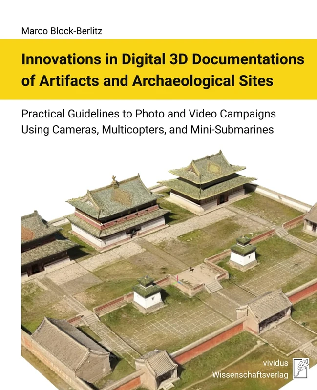
Innovations in Digital 3D Documentations of Artifacts and Archaeological Sites: Practical Guidelines to Photo and Video Campaigns Using Cameras, Multicopters, and Mini-Submarines

Springer Digging It Up Down Under - Archaeology Guide
Springer
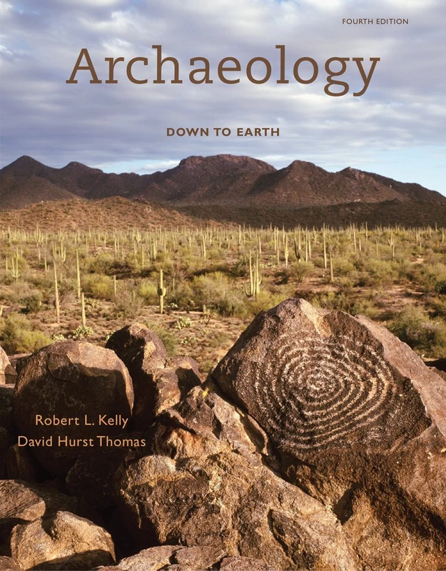
Archaeology: Down to Earth
Cengage Learning

Archaeology Down Earth 3e
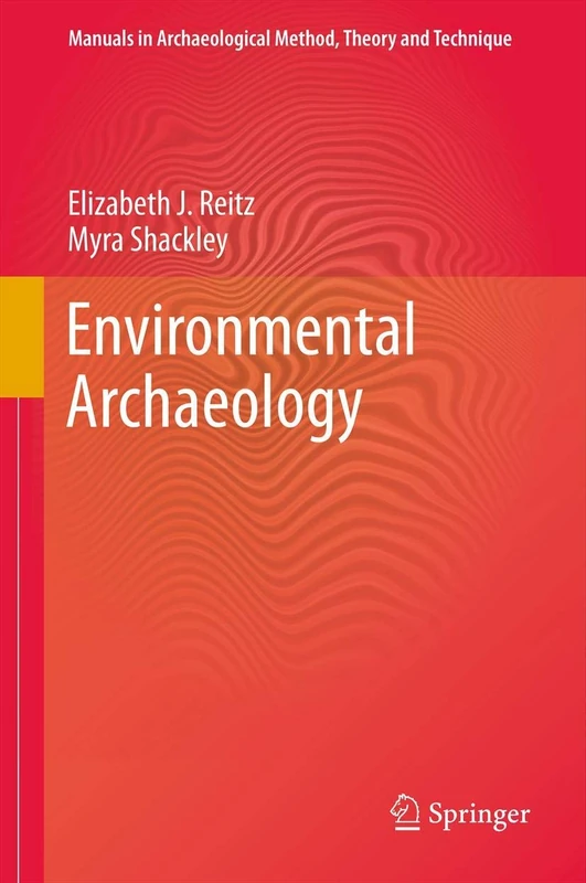
Environmental Archaeology (Manuals in Archaeological Method, Theory and Technique)
Springer
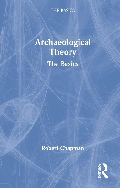
Archaeological Theory: The Basics
Routledge
Prehistory in Practice: A Multi-Stranded Analysis of British Archaeology 1975-2010: 577 (British Archaeological Reports British Series)
British Archaeological Reports Oxford Ltd
Beyond Illustration: 2D and 3D Digital Technologies as Tools for Discovery in Archaeology: 1805 (British Archaeological Reports International Series)
British Archaeological Reports Oxford Ltd
Thinking through Archaeological Complexity
Routledge
Archaeological Approaches to Technology
Routledge
Digital Heritage and Archaeology in Practice: Data, Ethics, and Professionalism
University Press of Florida
Archaeological Approaches to Technology
Routledge
Global Archaeological Theory: Contextual Voices and Contemporary Thoughts
Springer