We can't find the internet
Attempting to reconnect
Something went wrong!
Hang in there while we get back on track
£5.00
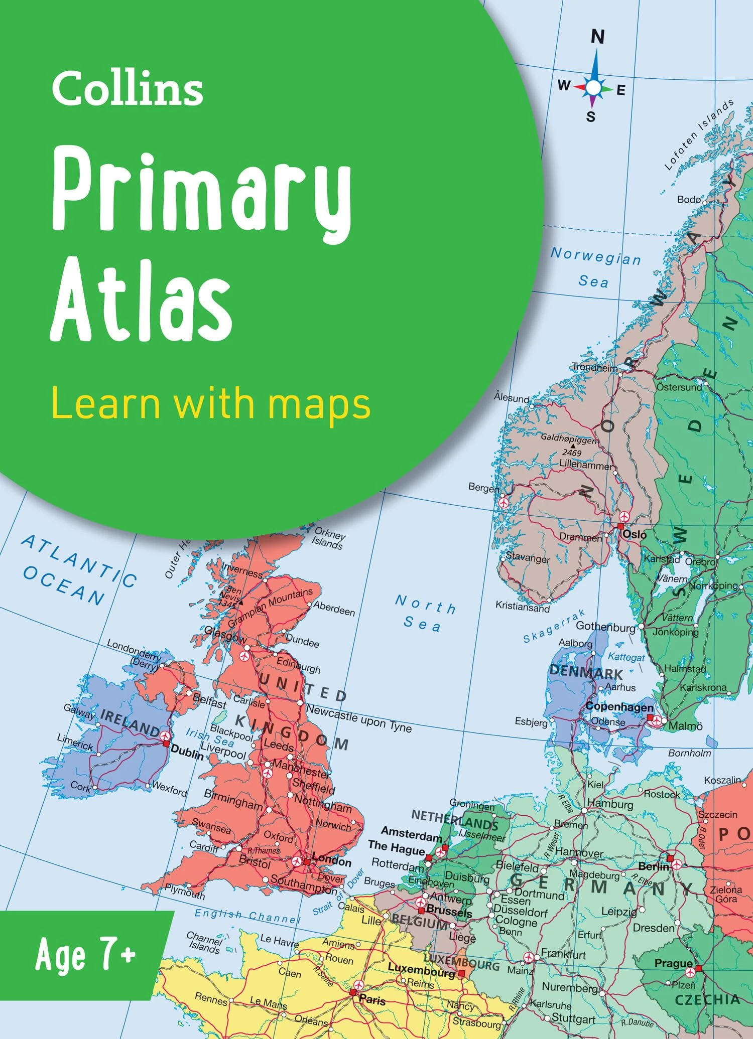
Collins Primary Atlas: Ideal for learning at school and at home (Collins School Atlases)
Price data last checked 139 day(s) ago - refreshing...
We'll watch every seller, every day. One email when your price arrives.
This is the usual price. Wait for it to drop, or tell us your number.
£5 today · usual range £0–£0 · best ever £5
NEW HERE?
Amazon shows you one price. We show you all of them.
Tosheroon watches Amazon prices so you don't have to. Every product on Amazon has a price history — we make it visible. Set the price you'd actually pay, and we'll email you the second it gets there. No app, no account, one email.
WHAT'S ON THIS PAGE
when this has been cheap or pricey
where the price is heading next
all-time high & low, recent range
name your number, we'll email you
Price History & Forecast
Grey patches = out of stock. Cheaper = lower on the chart. Hover for exact prices.
Last 144 days • 144 data points (No recent data available)
Price Distribution
Price distribution over 144 days • 9 price levels
Price Analysis
Most common price: £6.84 (40 days, 27.8%)
Price range: £4.74 - £6.84
Price levels: 9 different prices over 144 days
Description
Key Features
New Store Stock
Product Specifications
- Brand
- Collins
- Format
- paperback
- ASIN
- 000871651X
- Domain
- Amazon UK
- Release Date
- 13 February 2025
- Listed Since
- 26 March 2024
Barcode
No barcode data available
Similar Products You Might Like
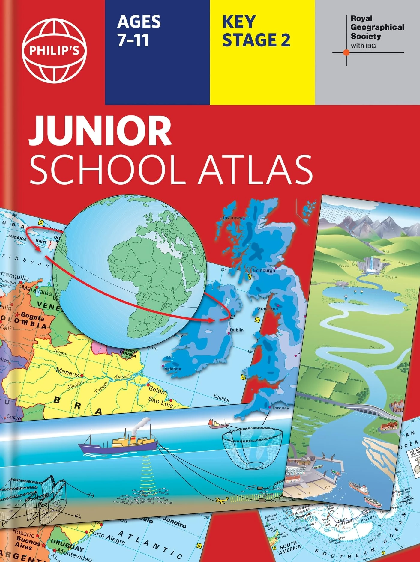
Philip's RGS Junior School Atlas: 12th edition HB (Philip's World Atlas)
Philip's
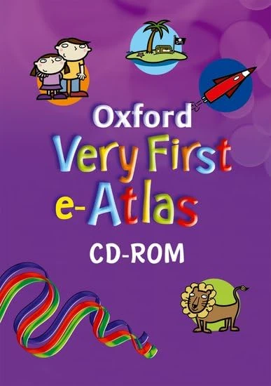
Oxford Very First e-Atlas CD-ROM
Oxford University Press
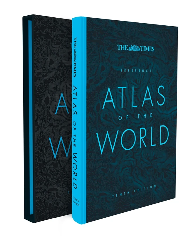
The Times Reference Atlas of the World
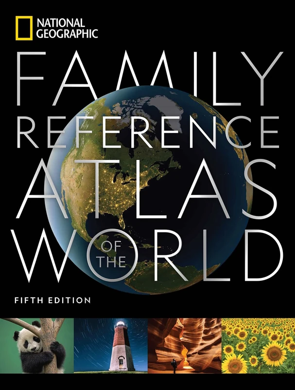
National Geographic Family Reference Atlas, 5th Edition (National Geographic Family Reference Atlas of the World)
National Geographic
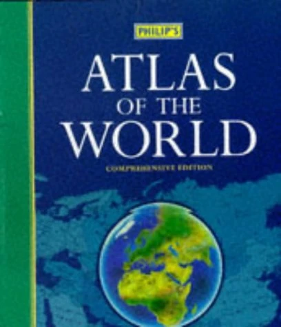
Philip's Atlas of the World
Philip's
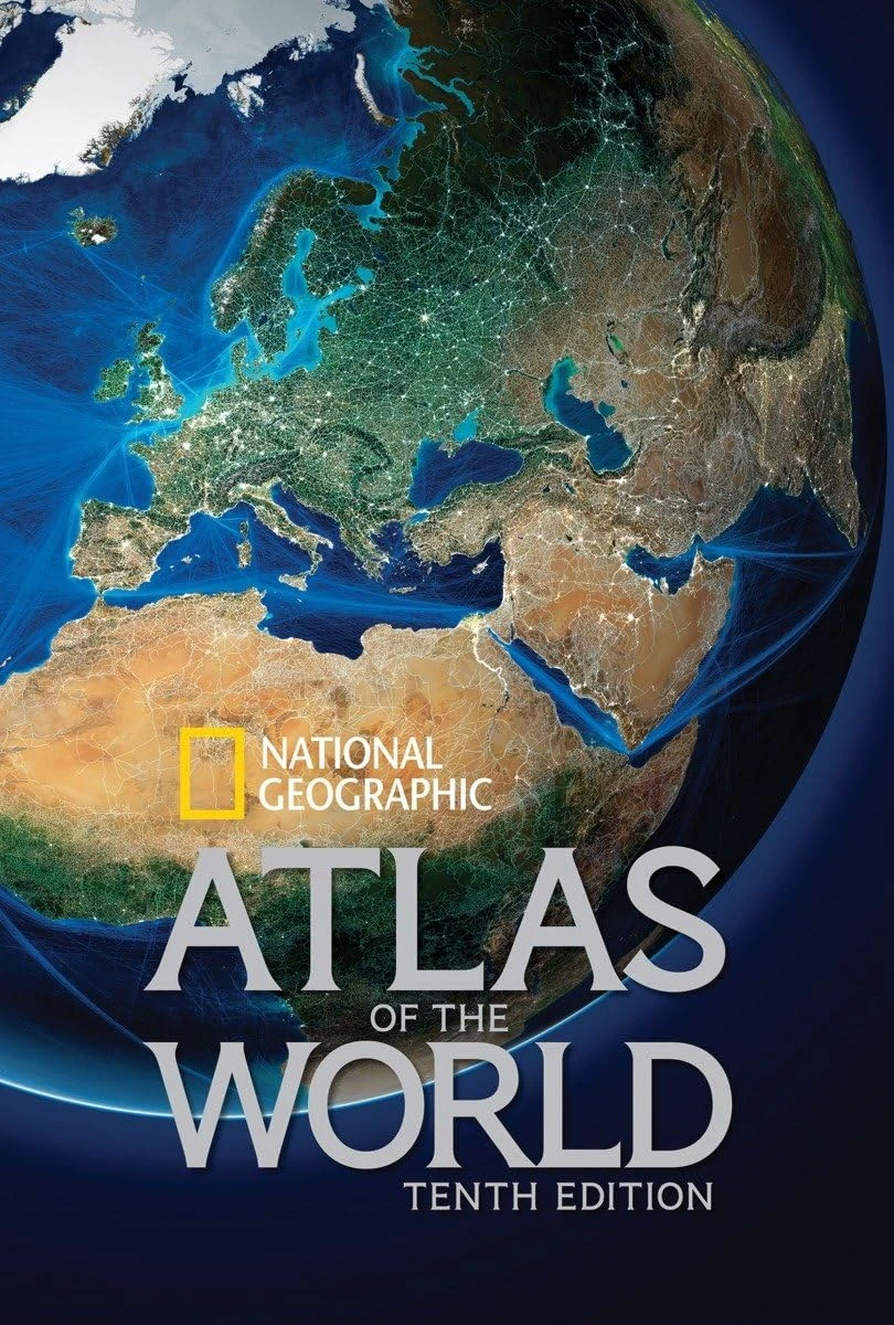
National Geographic Atlas of the World, Tenth Edition
National Geographic
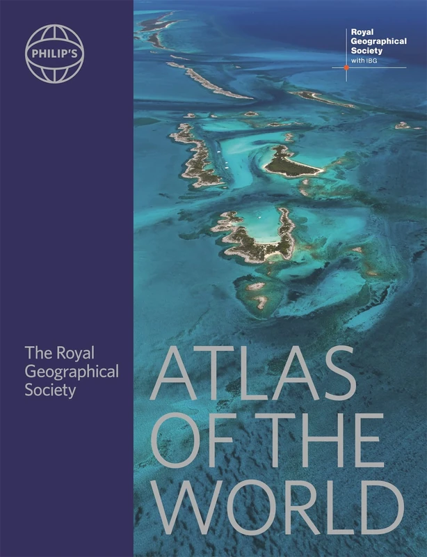
Philip's RGS Atlas of the World (Philip's World Atlas)
Philip's
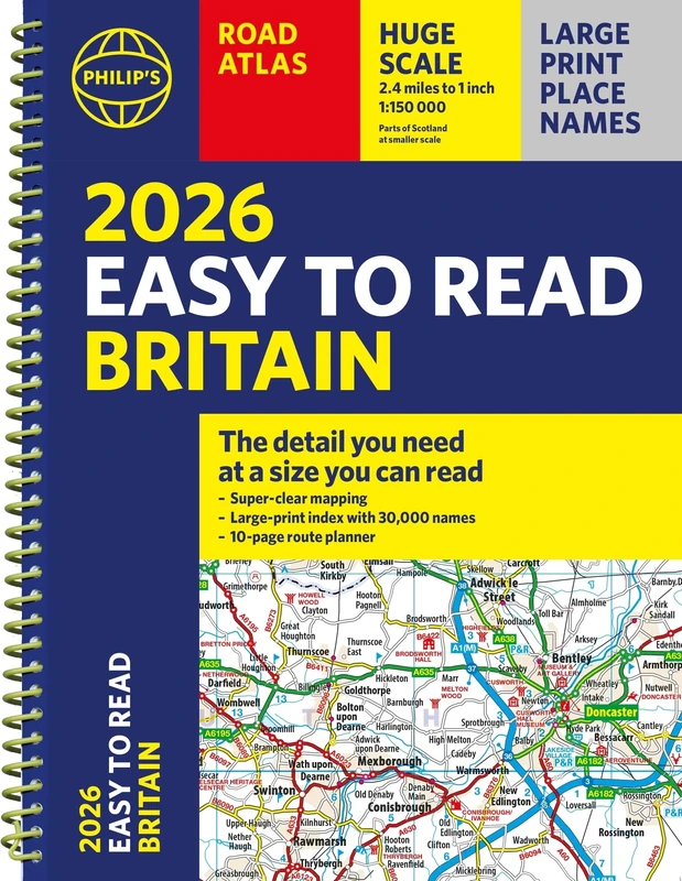
2026 Philip's Easy to Read Road Atlas of Britain: (A4 Spiral Bound) (Philip's Road Atlases)
Philip's
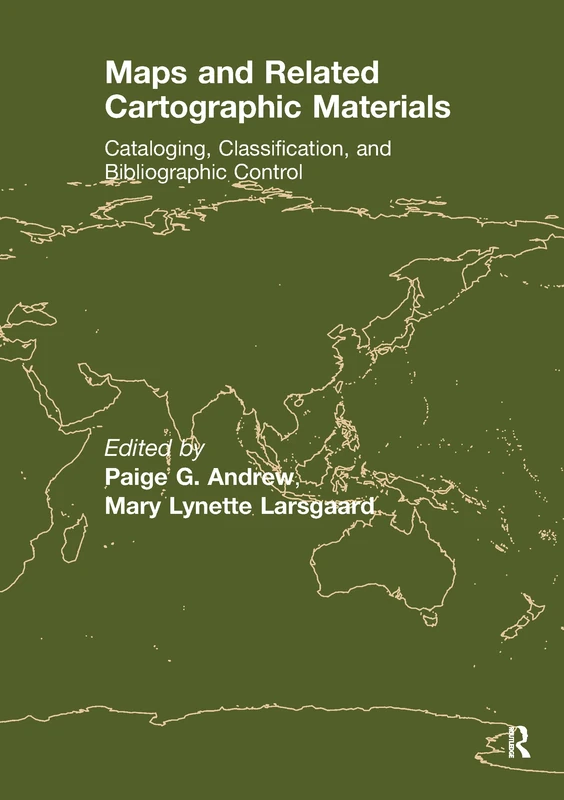
Maps and Related Cartographic Materials: Cataloging, Classification, and Bibliographic Control
Routledge
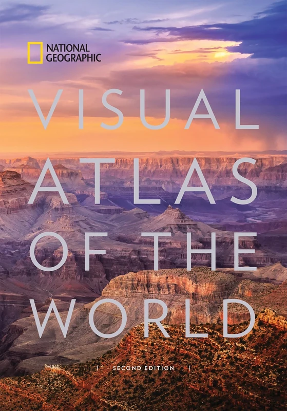
Visual Atlas of the World: Fully Revised and Updated
National Geographic
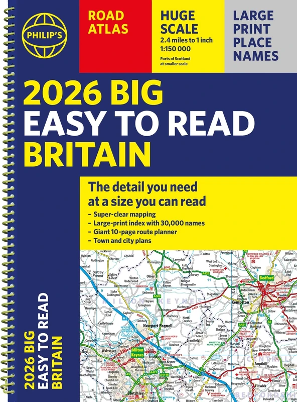
2026 Philip's Big Easy to Read Britain Road Atlas: (A3 Spiral) (Philip's Road Atlases)
Joan Blaeu. Atlas Maior of 1665
Taschen
The Palgrave Concise Historical Atlas of Eastern Europe: Revised and Updated
MACMILLAN

2025 Philip's Big Easy to Read Britain Road Atlas: (A3 Spiral Binding) (Philip's Road Atlases)
Philip's
The Library of Lost Maps
Bloomsbury

2025 Philip's Big Road Atlas of Europe: (A3 Spiral Binding) (Philip's Road Atlases)
Philip's
Lonely Planet Kids My First Lift-the-Flap World Atlas: Interactive Kids' Atlas with 40 Flaps, Fun Facts, Search-and-Find Games & Giant Pull-Out Map
Lonely Planet
Practical Handbook of Thematic Cartography: Principles, Methods, and Applications
CRC Press
Philip's RGS Atlas of the World (Philip's World Atlas)
People and places 3: A 21st-Century Atlas of the UK
Policy Press
Atlas of Classical History: Revised Edition
Atlas of Classical History: Revised Edition
Routledge

Philip's RGS Atlas of the World: 2024 edition (Philip's World Atlas)
The Mapmakers' World: A Cultural History of the European World Map
Casemate